
What is recorded here
Situated on a level landscape with the NW-SE Athboy River c. 150m to the SW. This is a circular, grass-covered mound (diam. of base 23m NW-SE; H 3.6-4.1m) with some trees, now much quarried. The church of Tremblestown (ME036-002----) is c. 200m to the WNE, and the tower house (ME036-003----) is adjacent c. 20m to the SW.
From the National Monuments Service (Archaeological Survey of Ireland) record ME036-004
The monument record does not grant public access. Check the route and ask the landowner before entering private land.
- What survives
- Recorded monument
Places near here
Photo credits
- Mike Searle, Geograph · CC BY-SA 2.0
- National Inventory of Architectural Heritage
- Kieran Campbell, Geograph · CC BY-SA 2.0
- Rathkennamike2, Wikimedia Commons · CC BY-SA 4.0
- Billy Irwin, Wikimedia Commons · CC BY-SA 2.0
- Ronnie Nijboer, Wikimedia Commons · CC0
- Roger Culos, Wikimedia Commons · CC BY-SA 3.0
- William Murphy, Wikimedia Commons · CC BY 2.0
- Neil Forrester, Co.Meath, Ireland. http://neil.forrester.ie, Wikimedia Commons · CC BY 3.0
- Anthony Foster, Geograph · CC BY-SA 2.0
 CastleCastle, tower house · 52 yd
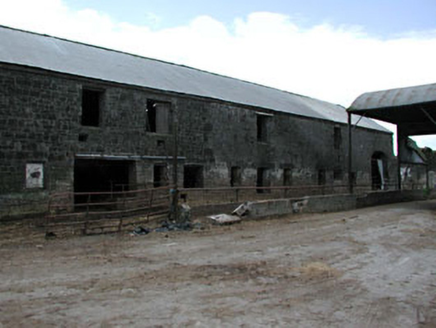 outbuilding1.4 mi
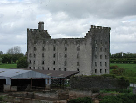 mill (water)1.4 mi
 Moymet CastleCastle, tower house · 2.0 mi
 IndicatedGatehouse · 2.1 mi
 Grave YardGraveyard · 2.4 mi
 Trim CastleVisitor information · 2.7 mi
 Wych Elm5.8 mi
 Small-leaved Elm5.9 mi
 Battle of Tara (Ireland)Major battlefield · 9.9 mi
 Battle of Tara HillBattle · 10.0 mi
 Saint Patrick'sMemorial · 10 mi
More castles and forts in County Meath · All of County Meath
What do you know about this place?