What is recorded here
Situated at the S edge of a fairly level landscape and at the crest of a SW-facing slope, with a NW-SE section of the Athboy River c. 100m to the SW. Ussher (1622) describes the chapel of Trymlestown as a decayed chapel-of-ease to St Patrick’s in Trim (ME036-048012-) (Erlington 1847-62, 1, lxxxiii). Dopping (1682-5) lists it as one of the chapels of Trim parish (Ellison 1972, 8). It is described as an ‘ould church’ in the Civil Survey (1654-6) where Mathias Barnwall, Lord Trimelstowne owns 806 acres, or almost the entire parish (Simington 1940, 247-8). The church is in a rectangular graveyard (dims c. 50m NW-SE; c. 45m NE-SW) defined by earthen banks and outer masonry walls, with headstones dating from c. 1770 to 1964.
The grass-covered nave (dims 9.2m E-W; 6.2m N-S) defined by scarps at W (H 0.8m) and N (H 0.6m) is just W of the chancel which was rebuilt as a chapel in 1680, according to a graveslab inside, and conserved as a roofed building (ext. dims 7.2m E-W; 5.05m N-S) by Thomas Allen of Trim in 1871, according to an inscribed plaque on the outside of the E wall. It is now kept locked, but the blocked and rounded chancel arch (Wth 1.9m; H 2.15m) can be identified. A rectangular font (ext. dim. 0.55m; H 0.27m) with chamfered corners and the bottom of its circular basin (int. diam. 0.4m; D 0.1m) that was in the graveyard in 1969 might now be in the locked chancel, where there is a graveslab with cursive script commemorating Margaret Dangan, who died in 1680, and for whom the chancel was rebuilt. The graveyard is surrounded by the field system (ME036-005----). The tower house (ME036-003----) is c. 200m to the ESE and the motte (ME036-004----) is c. 30m further east.
The above description is derived from the published 'Archaeological Inventory of County Meath' (Dublin: Stationery Office, 1987). In certain instances the entries have been revised and updated in the light of recent research.
Compiled by: Michael Moore
Date of revision: 16 February 2015
The monument record does not grant public access. Check the route and ask the landowner before entering private land.
- What survives
- Recorded monument
Places near here
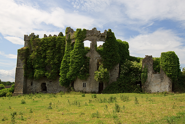 CastleCastle, tower house · 225 yd
 IndicatedCastle, motte · 260 yd
 Enclosure in PhillinstownEnclosure · 1207 yd
 Enclosure in CaprannyEnclosure · 1707 yd
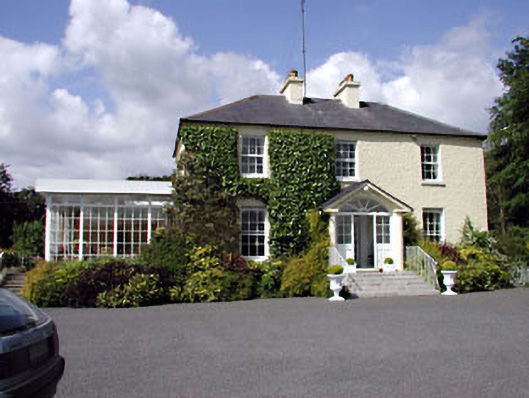 Clonylogan Housefarm house · 1.4 mi
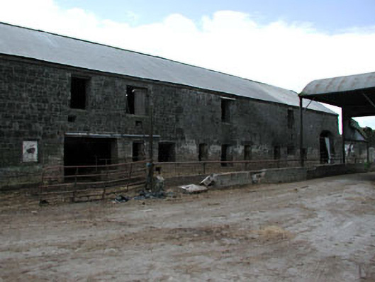 outbuildingoutbuilding · 1.5 mi
 FraineMountain / peak · 4.2 mi
 Saints IslandForest · 5.9 mi
 Small-leaved ElmSmall-leaved Elm · 6.0 mi
 Croppies' GraveMemorial · 10 mi
 Old Bog Road made famous by Teresa Bryton 1868-1943Memorial · 11 mi
 Donaghmore Round TowerHeritage attraction · 11 mi