
What is recorded here
Situated on a fairly level landscape. The cropmark of an oval enclosure (dims c. 55m NE-SW; c. 33m NW-SE) defined by a single narrow fosse feature is visible on Google Earth (29/06/2018; 14/07/2018). It has an indentation at NW so that it is rather kidney-shaped and may have been an ornamental feature. It was first reported by Jean Charles Caillere.
See the attached image from Google Earth 14/07/2018
Compiled by: Michael Moore
Date of upload: 5 June 2019
A local fairy fort (ringfort/rath); wider significance not recorded.
The monument record does not grant public access. Check the route and ask the landowner before entering private land.
- What survives
- Recorded monument
Places near here
 Enclosure in Dunleever GlebeEnclosure · 762 yd
 Enclosure in PhillinstownEnclosure · 843 yd
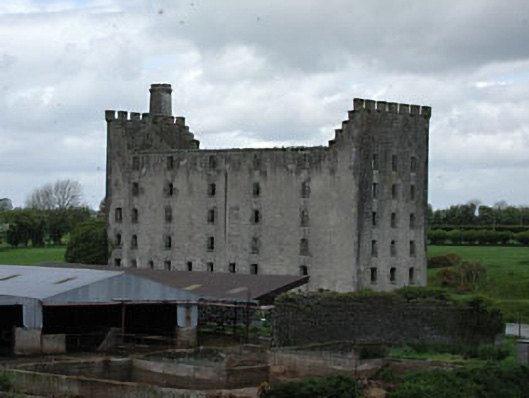 mill (water)mill (water) · 1452 yd
 IndicatedCastle, motte · 1468 yd
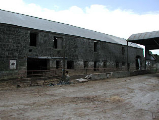 outbuildingoutbuilding · 1485 yd
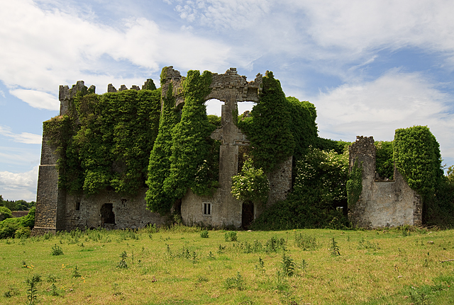 CastleCastle, tower house · 1518 yd
 Wych ElmWych Elm · 5.0 mi
 FraineMountain / peak · 5.1 mi
 Small-leaved ElmSmall-leaved Elm · 5.1 mi
 Battle of Tara (Ireland)Major battlefield · 9.1 mi
 Battle of Tara Hillbattle · 9.1 mi
 Saint Patrick'sMemorial · 9.2 mi
Other information
Photo: Credit not shown in the picture search · Rights wording not checked; contact us if this picture should be removed