
What is recorded here
Situated on a low E-W ridge. Centre-line testing (04E0485) by R. O’Hara (2004) of two fields in Testing area 1 of the Dunboyne link road (R157) to the M3 (excavations.ie 2004:1198) confirmed the presence of archaeological features where magnetic susceptibility and gradiometer surveys (06R0038) by J. Nicholls (2006)…
Read the whole record
From the National Monuments Service (Archaeological Survey of Ireland) record ME050-048006
Places near here
Photo credits
- Maker not stated on source page, www.wegow.com
- National Inventory of Architectural Heritage
- Maker not stated on source page, commons.wikimedia.org
- Maker not stated on source page, www.europeanheritageawards.eu
- Maker not stated on source page, uk.pinterest.com
- Maker not stated on source page, en.wikipedia.org
- Maker not stated on source page, fi.pinterest.com
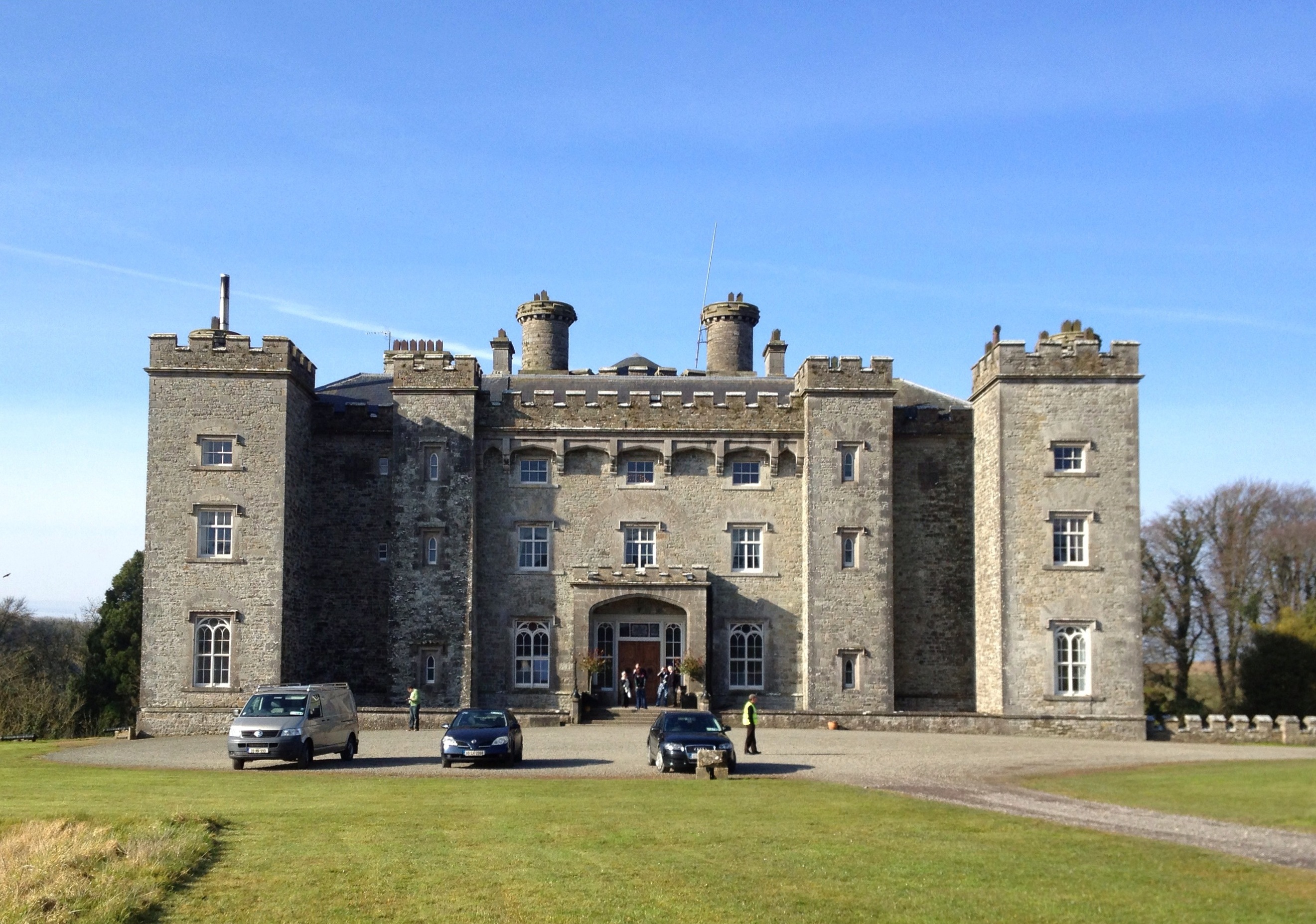 Well in CastlefarmWell · 69 yd
Explorer Tom Well in Castlefarm is sitting on a ridge near the Dunboyne link road, probably dreaming of a hidden tunnel that leads…
 Dunboyne CastleDemesne walls/gates/railings · 881 yd
Explorer Tom Dunboyne Castle entrance is making a bit of a scene on Maynooth Road with its channelled ashlar piers. It forms part of…
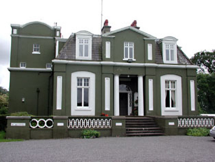 CourthillCountry house · 927 yd
Explorer Tom Courthill House is a mashup of 1830 and 1900 architecture, like wearing a top hat with sneakers. It’s got Doric columns…
 Saint Peter's Church (Dunboyne)Mausoleum · 980 yd
Explorer Tom Saint Peter's Church (Dunboyne) is actually a mausoleum that thinks it’s a shortcut through the afterlife. The Hamilton…
 St. Peters ChurchChurch · 1004 yd
Explorer Tom St. Peters Church at Dunboyne was the subject of a terrible poem about yellow rivers and bad hair. Nobody remembers who…
 CastleCastle, tower house · 1015 yd
Explorer Tom Castle in Castlefarm has a long list of former names, mostly just variations of 'Big Stone Box'. William le Petit…
 W. BradyHouse · 1232 yd
Explorer Tom W. Brady house in Dunboyne hosted a dance that went right over the top. Horses were involved, or maybe that was just…
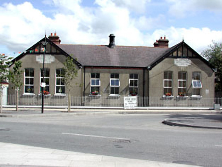 Dunboyne National SchoolSchool · 1248 yd
Explorer Tom Dunboyne National School is a building with gabled breakfronts that looks like it’s trying to impress you with its…
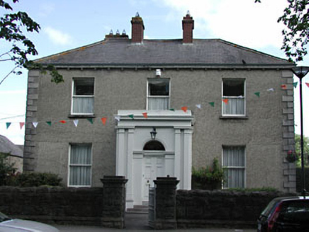 presbytery/parochial/curate's house1281 yd
Explorer Tom Presbytery in Dunboyne, County Meath caused a huge argument when the whole parish disagreed on who should live there…
 St. Peter's GAA, DunboyneGAA ground · 1300 yd
 EnclosureEnclosure, large enclosure · 1.0 mi
Explorer Tom Enclosure in Dunboyne is a large D-shaped ring that looks like it was designed by a mother-in-law who wanted to keep…
 Rooske CemeteryCemetery · 1.1 mi
Explorer Tom Rooske Cemetery in County Meath loves bragging about the one storm it survived back when everyone thought it was done…
More archaeology and monuments in County Meath · All of County Meath

What do you know about this place?Tap to add a comment or ask a question