
What is recorded here
Located in rough pasture at the head of a S-N valley, with the stream outside the perimeter at E. Marked only on the 1926 ed. of the OS 6-inch map. This is a large rectangular burial ground (dims. c 100m N-S; c. 80m E-W) defined by stone-clad field banks which is thought to have been used for the burial of famine…
Read the whole record
From the National Monuments Service (Archaeological Survey of Ireland) record WA036-012
Places near here
Photo credits
- Maker not stated on source page, www.irishamericanmom.com
- Maker not stated on source page, ru.pinterest.com
- Maker not stated on source page, coastradar.com
- Maker not stated on source page, www.freepik.com
- Maker not stated on source page, pl.pinterest.com
- Maker not stated on source page, www.tripadvisor.ca
- Maker not stated on source page, www.tripadvisor.com
- Maker not stated on source page, www.pinterest.com
- National Inventory of Architectural Heritage
 Reilig an tSléibe Famine GraveyardCemetery · 16 yd
Explorer Tom Reilig an tSléibe Famine Graveyard would survive any zombie attack with its eyes closed because it’s already used to…
 Standing stone in Newtown (decies Without Drum By., Dungarvan Par.)Standing stone · 1.5 mi
Explorer Tom Standing stone in Newtown in County Waterford sits on a ridge with a view that makes you feel very small and very lost.…
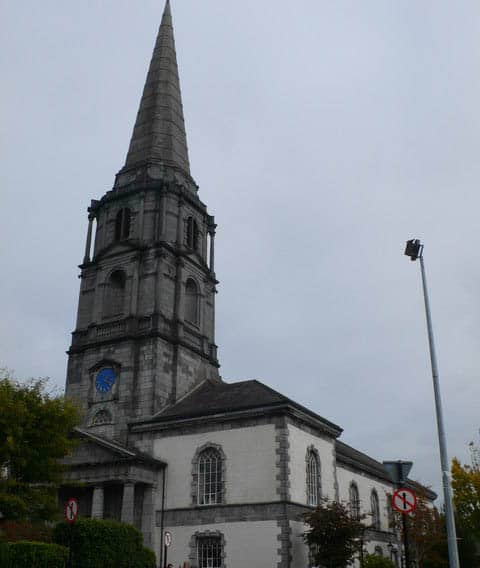 Site of ChurchChurch · 1.6 mi
Explorer Tom Site of Church in Middlequarter would survive a zombie attack by simply standing still and looking uninteresting. It…
 Stone sculpture in MiddlequarterStone sculpture · 1.6 mi
Explorer Tom Stone sculpture in Middlequarter is sitting in a flowerbed and swears there’s a secret tunnel underneath leading…
 Bullaun stone in MiddlequarterBullaun stone · 1.6 mi
Explorer Tom Bullaun stone in Middlequarter is where a giant once took a dip, or so the legend goes. It's a sandstone slab with a…
 Standing stone (present location) in Newtown (decies Without Drum By., Dungarvan Par.)Standing stone (present location) · 1.7 mi
Explorer Tom Standing stone in Newtown in County Waterford has been dragged into a farmyard, looking absolutely confused about its…
 CastleCastle, unclassified · 1.7 mi
Explorer Tom Castle in Killosseragh has so many former names it’s legally required to use them all in rotation just to keep its head…
 Bullaun stone in An Tseanchill (par. Dún Garbhán)Bullaun stone · 1.8 mi
Explorer Tom Bullaun stone in An Tseanchill would teach history by making everyone kneel until they understood the pain of being…
 The ForgeForge/smithy · 1.8 mi
Explorer Tom The Forge in Glen Beg is having a rivalry with Blacksmiths Hall because it thinks its small-scale industrial venture…
 An GríanánHouse · 1.9 mi
Explorer Tom An Gríanán in Glen Beg is named after something that definitely means 'The Place Where The Sun Hits Your Ear Exactly…
 Knockmaon Castle (in ruins)Castle, tower house · 4.2 mi
Explorer Tom Knockmaon Castle’s favourite song is 'Rock Outcrop' because it feels like it’s floating in a sea of flat land. It’s…
 Mill and Churchquarter GraveyardGraveyard · 6.2 mi
Explorer Tom Mill and Churchquarter Graveyard in County Waterford claims Queen Victoria once stopped here to buy a sandwich and…
More archaeology and monuments in County Waterford · All of County Waterford

What do you know about this place?Tap to add a comment or ask a question