DDiscover AloneMapAbout

Building in Trevet

Building

The monument record does not grant public access. Check the route and ask the landowner before entering private land.

What do you know about this place?Tap to add a comment or ask a question

What you write will be public.

What is recorded here

Located on a shelf excavated into a gentle SW-facing slope. Archaeological testing (04E0418) by J. Dempsey of Testing Area 4, Contract 2, prior to the construction of the M3 motorway identified a cobbled surface (Dempsey 2004, 22-3). The area was excavated (E003067) intermittently by S. Rathbone as Trevet 1…

Read the whole record
Located on a shelf excavated into a gentle SW-facing slope. Archaeological testing (04E0418) by J. Dempsey of Testing Area 4, Contract 2, prior to the construction of the M3 motorway identified a cobbled surface (Dempsey 2004, 22-3). The area was excavated (E003067) intermittently by S. Rathbone as Trevet 1 (excavations.ie 2006:1646) between November 2005 and December 2006 when a section of road leading to buildings in a cobbled area were recorded. There was also evidence of a prehistoric burnt mound at the N edge of the excavated area. The road (Wth c. 5m) ran W-E and terminated at the entrance to a large building (ext. dims c. 20m N-S; c. 6m E-W), with a possible E-W return (ext. dims c. 9m E-W; c. 6m N-S) extending E from the N end. The building is defined by the slight remains of stone walls, never more than one course high that survived as inner or outer faces at SW, W and possibly at E. A stone facing (L 6.5m plus) survives at the base of a slight slope at S and W, creating a wall (Wth c. 1m) with a rubble core, but there is no foundation trench although the NE corner of the building is dug into the natural slope. The outer face of the S wall extended down the inner edge of a ditch here. A pit (diam. 0.9m; D 0.4m) close to the line of the E wall and filled with a silty clay produced 82 sherds of medieval pottery. Towards the S end the W wall turns inwards to an entrance (Wth c. 1.2m) that is reached by a paved path around the S end of the building or the N end of an L-shaped ditch (Wth c. 2m) that surrounds the SW angle of the building. The building had no internal hearths or post-holes and it was probably a narrow, single storey, cruck-built structure with cob walls on low stone bases. The remains are slight and the stratigraphy thin, and other interpretations of the meagre walls are possible; the E return could be a separate structure. (Rathbone 2009, 2-5) East of the building a large area (dims c. 26m N-S; 16m plus E-W) extending E outside the excavated area had three identifiable styles of cobbling, which are all probably contemporary with each other and the building. Four small pits with in situ burning cut through the cobbling and are probably hearths. A possible well (diam. 1m), 2m E of the building, was cut by a seventeenth century drain and its relationship with the cobbled surface could not be established. A N-S ditch (L 16.6m plus; Wth 0.72m; D 0.38m) c. 13m E of the N-S building was probably a contemporary drain. (Rathbone 2009, 5-6) The entire area was covered by a thin deposit of compacted clay that could be the remains of the cob walls of the buildings mixed with midden material. It produced almost 2000 artefacts, largely pottery sherds, and over 3000 sherds were recovered in total. This comprised Leinster cooking ware and locally produced wheel-thrown wares. There were also fine wares dating from the late twelfth to the fourteenth centuries. The local wares may have been produced in the vicinity. Metal finds included a cruciform strap-end, metal knives and metal cauldron-legs. The small amount of animal bone represented at least three cattle, three sheep/goat, three pigs, two horses and one dog. (Rathbone 2009, 6-7) See the attached plans from Rathbone (2009, figs 7, 9) _1 Site plan; _2 Interpretive plan; Compiled by: Michael Moore Date of upload: 20 April, 2022

From the National Monuments Service (Archaeological Survey of Ireland) record ME038-067

Places near here

Photo credits
  • Maker not stated on source page, veri-art.net
  • Maker not stated on source page, www.youtube.com
  • Maker not stated on source page, ru.pinterest.com
  • Maker not stated on source page, commons.wikimedia.org
  • Maker not stated on source page, www.knowth.com
  • National Inventory of Architectural Heritage
  • Garry Dickinson, Geograph · CC BY-SA 2.0
  • Kieran Campbell, Geograph · CC BY-SA 2.0
  • Willow, Wikimedia Commons · CC BY 2.5
  • Maker not stated on source page, www.pinterest.ru
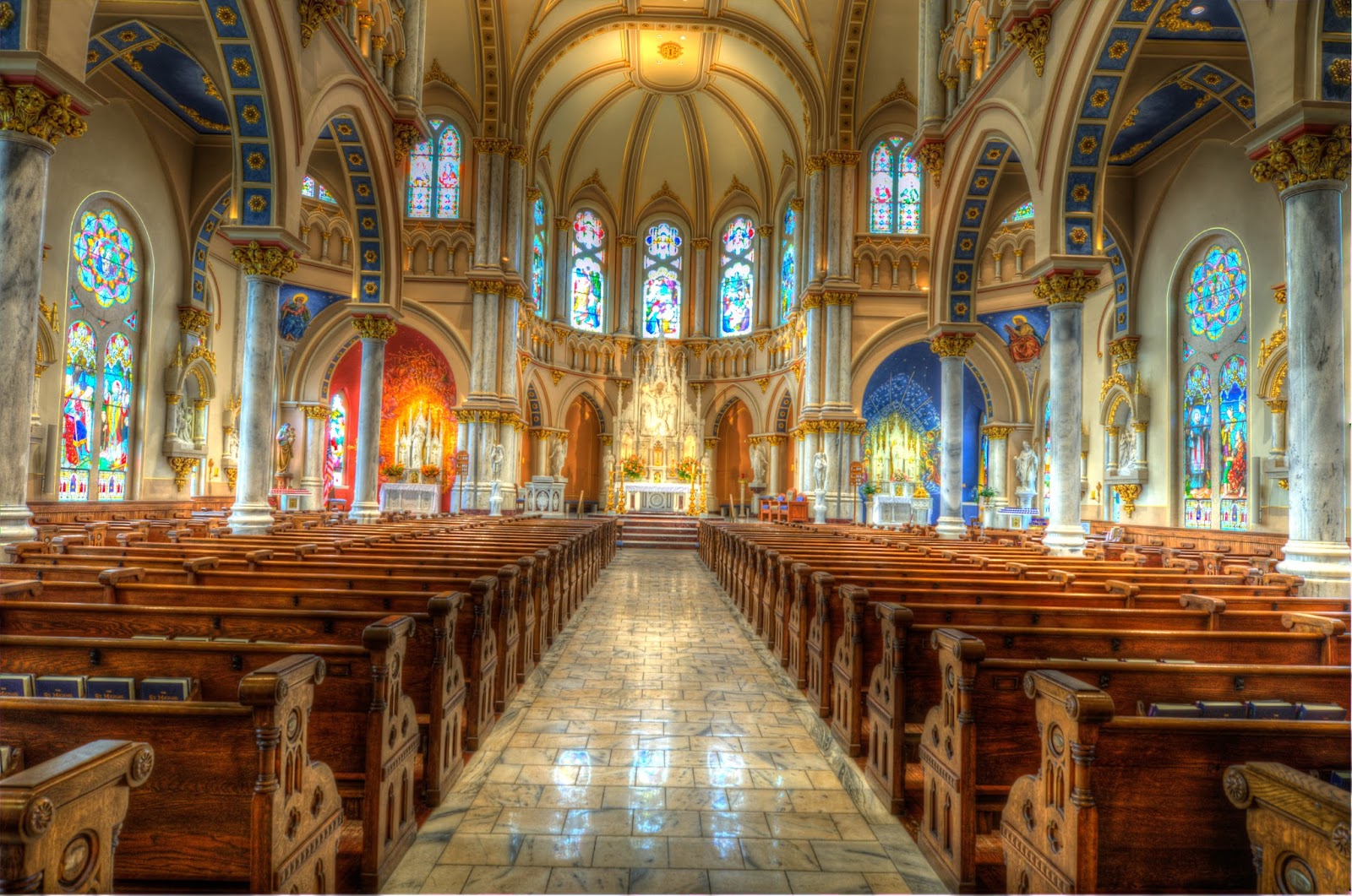
Church (in Ruins)Church · 1651 yd

Explorer Tom Church in Trevet claims it’s older than your great-grandfather's bad haircuts, which is bold for a place with no walls…

TombTomb, chest tomb · 1657 yd

Explorer Tom Tomb in Trevet looks like it would wear a tuxedo and drink too much champagne at a wedding. Sir Thomas Cusack is buried…

Fairy fort / earthen ringfort in Collierstown (skreen By.)Fairy fort / earthen ringfort · 1.2 mi

Explorer Tom This Collierstown ringfort really hates when visitors trip over its own banks, which are surprisingly soft for being…

Earthwork in ColvinstownEarthwork · 1.2 mi

Explorer Tom Earthwork in Colvinstown has the weather's long grudge against it, as it vanished after appearing on an 1826 map. It’s…

Earthwork in Trevet GrangeEarthwork · 1.5 mi

Explorer Tom Earthwork in Trevet Grange is a small mound that thinks it’s a moat because an old map said so back in 1836. There was…
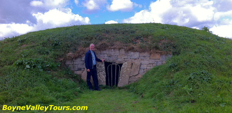
Enclosure in Roestown (ratoath By.)Enclosure · 1.7 mi

Explorer Tom This spot in Roestown has a secret talent for turning limestone gaming boards into legendary artifacts that people…
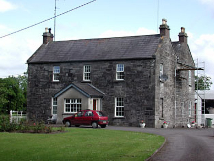
Oberstown HouseFarm house · 2.0 mi

Explorer Tom Oberstown House in County Meath mixes limestone and brick like it’s showing off. Its first owner planned to escape by…
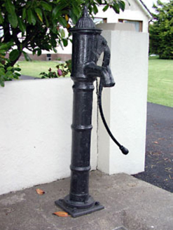
water pump2.0 mi

Explorer Tom Water pump in Skreen is just standing there looking decorative while doing absolutely no work today. I swear the stones…

Skreen CastleCastle, tower house · 2.2 mi

Explorer Tom Skreen Castle is overhearing every secret the walls have swallowed over the centuries and judging your life choices…

CastleCastle, tower house · 4.3 mi

Explorer Tom Castle in Monktown is locked in an eternal feud with the rain, and honestly, it’s losing badly. You’ve got a Cistercian…

European ash4.8 mi

Explorer Tom European ash in County Meath makes map makers look like amateurs because nobody can seem to find the right path to it.…

Balrath WoodForest · 4.9 mi

Explorer Tom Balrath Wood is convinced a king visited last Tuesday just to check its leaf count, and it hasn't let anyone disprove…

More historic places in County Meath · All of County Meath

Add to this placeAdd a picture Add a detailed tip Add a story

Explore the map1,095,414 places to discover

Next place · or swipeChurch (in Ruins)