What is recorded here
Within enclosure (TS061-035002-) abutting scarp at W. A rectangular area (dims. 9.5m E-W; 5m N-S) defined by an earthen bank (overall Wth 3.1-3.35m; Wth at top 1.2-1.4m; int. H 0.05-0.15m; ext. H 0.12-0.45m) with stone detected in places under the sod. The bank is worn down at the E end on the S side. There is an entrance gap (Wth 2m) at the N side of the E end. The interior is slightly sunken and has no apparent features. A church (TS061-035001-) and graveyard (TS061-035004-) lie c. 9.2m to the N.
Compiled by: Jean Farrelly
Date of upload: 26 August 2011
The monument record does not grant public access. Check the route and ask the landowner before entering private land.
- What survives
- Recorded monument
Places near here
 Brickendown Church (in ruins)Church · 42 yd
 Brickendown WellHoly well · 130 yd
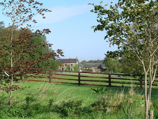 Mayfield Househouse · 547 yd
 Enclosure in MeldrumEnclosure · 786 yd
 Meldrum Castle (ruins)Castle · 1014 yd
 CastleCastle, ringwork and bailey · 1139 yd
 Ballyknock HillMountain / peak · 1.8 mi
 Cashel Folk MusuemMuseum · 2.4 mi
 Black mulberryBlack mulberry · 2.4 mi
 The Rock Of CashelVisitor information · 2.4 mi
 Cormac's ChapelHeritage attraction · 2.4 mi
 Dundrum Woods (Marl Bog)Forest · 9.9 mi