
What is recorded here
On level ground in marshy land, centrally placed within almost square graveyard (TS061-035004-). There are three enclosures immediately to the S and SE (TS061-035002-; TS061-035003-; TS061-035006-) and an enclosure (TS061-034----) 200m to the W. The church (int. diam. 14.3m N-S; 5.9m E-W), aligned E-W, survives largely as an undivided rectangular building, defined by grass-covered low walling. It is constructed of limestone rubble, roughly coursed. There is an entrance (Wth 1.5m) at the W end of the S wall. There is a length of upstanding wall (L 1.9m; H 1.3m) to the W of the entrance and a good portion of the S wall (L 9.8m; Wth 0.8m) survives from the SE angle, being at its highest (H above ext. 2.7m) towards the E gable, though this wall is heavily overgrown with ivy and scrub. Otherwise the N, E (H 1m; Wth c. 0.9m) and W (H 0.85m; Wth 0.9m) walls are grass-covered. White (1892, 14) mentions that the church had buttresses, these are at either end of the E gable. The N buttress (H 1.95m; L 1.45m; D c. 1m) is in poorer condition than the S (H 2.95m; L 1.5m; D 1.4m), though the latter is heavily overgrown with ivy. The OS Letters (O'Flanagan 1930, vol. 1, 109 (294-5)) mention 'a small window constructed of cut limestone placed at the distance of seven feet [0.17m] from the east gable and measuring on the outside, where it is placed at the height of four feet two inches [1.27m] from the present level of the ground, two feet one inch [0.63m] in height and seven inches [0.17m] in width. It is disfigured on the inside'. There is no evidence of this window near the E gable. The wall immediately S of the S buttress is largely broken out, but this appears to be where the E gable and S wall intersected. Further S along the S wall the upper section of the wall does not survive. Cahill (1982) mentions that 'A stone-cut font, said to have been used at the church, can be seen in a nearby farmyard', however this font cannot be presently located.
Compiled by: Jean Farrelly
Date of upload: 26 August 2011
The monument record does not grant public access. Check the route and ask the landowner before entering private land.
- What survives
- Recorded monument
Places near here
 Brickendown WellHoly well · 172 yd
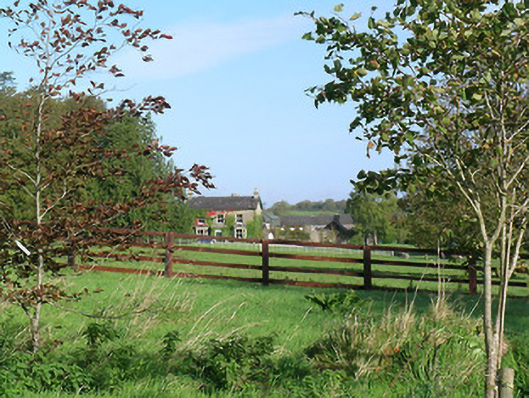 Mayfield Househouse · 589 yd
 Enclosure in MeldrumEnclosure · 763 yd
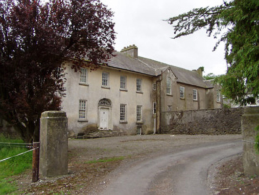 Meldrum Housecountry house · 818 yd
 Meldrum Castle (ruins)Castle · 975 yd
 CastleCastle, ringwork and bailey · 1180 yd
 Ballyknock HillMountain / peak · 1.8 mi
 Cashel Folk MusuemMuseum · 2.4 mi
 Black mulberryBlack mulberry · 2.4 mi
 The Rock Of CashelVisitor information · 2.4 mi
 Cormac's ChapelHeritage attraction · 2.4 mi
 Dundrum Woods (Marl Bog)Forest · 9.9 mi
Other information
Photo: Credit not shown in the picture search · Rights wording not checked; contact us if this picture should be removed