
What is recorded here
In rough pasture, in a gentle hollow (dims. 10m NNE-SSW; 9.5m ESE-WNW; max. D 0.65m; sides of hollow at SW: Wth 4m; H 0.65m). Circular well (dims. 0.75m NNE-SSW; 0.75m ESE-WNW) defined by corbelled stone wall (total H 0.85m; H to ground level 0.55m; T 0.25-0.55m) which extends (H 0.3m) above ground level and is enclosed by a sod-covered stone mound (dims. 2.35m ESE-WNW; max. 2m NNE-SSW) on exterior. Rectangular, lintelled opening (dims. H 0.35m; Wth 0.65m) is open to SSW. Top is closed by same lintel and a capstone which are set slightly apart from one another. A third capstone rests on top of these and closes top of well. Mortar (possibly cement?) visible on interior in places and exterior on right hand side of opening. Water depth (D 0.2m) to base at present. Bottom silted and has some occasional nettles and pond weed. Cut rectangular stone visible at S-side. Mature thorn tree is c. 4.5m to NNE. According to local information this is a holy well which was is still visited occasionally and white rags hung around the mature whitethorn tree. Depicted and named 'Brickendown Well' on latest edition OS 6-inch map. Land drain (long-axis c. E-W) is c. 8m to E.
Compiled by: Jean Farrelly
Date of upload: 26 August 2011
The monument record does not grant public access. Check the route and ask the landowner before entering private land.
- What survives
- Recorded monument
Places near here
 Brickendown Church (in ruins)Church · 172 yd
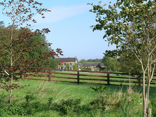 Mayfield Househouse · 417 yd
 Enclosure in MeldrumEnclosure · 874 yd
 CastleCastle, ringwork and bailey · 1011 yd
 CrossCross, Wayside cross (present location) · 1022 yd
 Meldrum Castle (ruins)Castle · 1140 yd
 Ballyknock HillMountain / peak · 1.9 mi
 Cashel Folk MusuemMuseum · 2.3 mi
 Black mulberryBlack mulberry · 2.4 mi
 The Rock Of CashelVisitor information · 2.4 mi
 Cormac's ChapelHeritage attraction · 2.4 mi
 Dundrum Woods (Marl Bog)Forest · 9.9 mi
Other information
Photo: Credit not shown in the picture search · Rights wording not checked; contact us if this picture should be removed