
What is recorded here
In improved pasture, on low rise. No visible surface trace. Identified as a penannular cropmark on aerial photography (ASIAP (36) 1-4).
Compiled by: Jean Farrelly
Date of upload: 26 August 2011
The monument record does not grant public access. Check the route and ask the landowner before entering private land.
- What survives
- Recorded monument
Places near here
 Meldrum Castle (ruins)Castle · 587 yd
 Brickendown Church (in ruins)Church · 763 yd
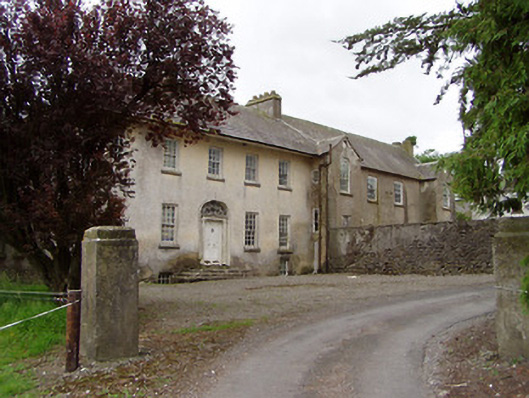 Meldrum Housecountry house · 831 yd
 IndicatedEnclosure · 852 yd
 Brickendown WellHoly well · 873 yd
 CastleCastle, ringwork and bailey · 1667 yd
 Ballyknock HillMountain / peak · 2.1 mi
 Cashel Folk MusuemMuseum · 2.8 mi
 Black mulberryBlack mulberry · 2.8 mi
 The Rock Of CashelVisitor information · 2.8 mi
 Cormac's ChapelHeritage attraction · 2.8 mi
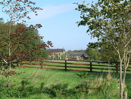 Mayfield Househouse · 1194 yd
Other information
Photo: Credit not shown in the picture search · Rights wording not checked; contact us if this picture should be removed