What is recorded here
In improved level pasture. No visible surface trace. Identified by aerial photography (CUCAP BGO; 19 July 1971) as a possible enclosure. Indicated on the 1st (1840) 6-inch OS map as a small tree plantation, possibly a designed landscape feature (dims. c. 100m NE-SW; c. 55m NW-SE). On the 25-inch OS map the SW portion is depicted as a roughly circular stand of trees, with a small pond in the northern area of the 1840s plantation. Barrow, possible is c. 100m to ENE.
In improved level pasture. No visible surface trace. Identified by aerial photography (CUCAP BGO; 19 July 1971) as a possible enclosure. Indicated on the 1st (1840) 6-inch OS map as a small tree plantation, possibly a designed landscape feature (dims. c. 100m NE-SW; c. 55m NW-SE). On the 25-inch OS map the SW portion is depicted as a roughly circular stand of trees, with a small pond in the northern area of the…
From the National Monuments Service (Archaeological Survey of Ireland) record TS061-054
The monument record does not grant public access. Check the route and ask the landowner before entering private land.
- What survives
- Recorded monument
Places near here
Photo credits
- National Inventory of Architectural Heritage
- P L Chadwick, Geograph · CC BY-SA 2.0
- Neil Theasby, Geograph · CC BY-SA 2.0
- Maker named on the Wikimedia Commons picture page · Public domain
- N Chadwick, Geograph · CC BY-SA 2.0
- Warren LeMay from Covington, KY, United States, Wikimedia Commons · CC0
- Mike Searle, Wikimedia Commons · CC BY-SA 2.0
- Liam Hughes from Milwaukee, WI, USA, Wikimedia Commons · CC BY 2.0
- Steven Brown, Geograph · Creative Commons Attribution-ShareAlike 2.0
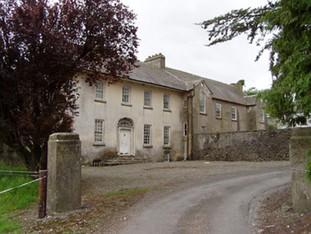 Meldrum HouseCountry house · 506 yd
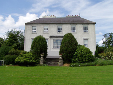 Dually HouseHouse · 1341 ydBallyknock HillMountain / peak · 1.9 mi
 Cashel Folk MuseumMuseum · 2.7 mi
 The Rock Of CashelVisitor information · 2.8 mi
 Black mulberry2.8 mi
 Cormac's ChapelHeritage attraction · 2.8 miBlack mulberry2.8 mi
.jpg/250px-Cashel_Cathedral,_Rock_of_Cashel,_Caiseal,_%C3%89ire_(32717185898).jpg "Photo: Warren LeMay from Covington, KY, United States, Wikimedia Commons · CC0") St. Patricks CathedralCathedral · 2.8 mi
St. Patricks CathedralCathedral · 2.8 mi Synone CastleCastle · 3.3 mi
 Castle in RuinsCastle, tower house · 4.6 mi
 Grave YardGraveyard · 4.6 mi
More archaeology and monuments in County Tipperary · All of County Tipperary
What do you know about this place?