What is recorded here
From OpenStreetMap (© OpenStreetMap contributors) n1853256350
Places near here
Photo credits
- Eric Jones, Geograph · CC BY-SA 2.0
- Robert Ashby, Geograph · Creative Commons Attribution-ShareAlike 2.0
- Maker not stated on source page, commons.wikimedia.org
- Maker not stated on source page, curiousireland.ie
- Maker not stated on source page, en.wikipedia.org
- Maker not stated on source page, irisharchaeology.org
- Maker not stated on source page, www.irelandbeforeyoudie.com
- Maker not stated on source page, ar.pinterest.com
 The BushPicnic place · 13 yd
Explorer Tom The Bush is a picnic place where a priest lost a bet to a farmer over who could throw an apple further into the trees.…
 Saint Andrew's Church (Carlingford)Church/chapel · 195 yd
Explorer Tom Saint Andrew's Church (Carlingford) made its New Year's resolution to stop letting the nettles take over. The Upton…
 Fairy fort / earthen ringfort in Mullaghattin (dundalk Lwr By; Carlingford Par.)Fairy fort / earthen ringfort · 792 yd
Explorer Tom Fairy fort in Mullaghattin is run by a dog named Sergeant who barks at the wind. He’s convinced he’s guarding a…
Fairy fort / earthen ringfort in Rath (dundlak Lwr By; Carlingford Par.)Fairy fort / earthen ringfort · 840 ydExplorer Tom Rath’s fairy fort was saved by a hero nobody remembers who just really liked mud. The two degraded banks are still…
 Megalithic structure in Rath LowerMegalithic structure · 913 yd
Explorer Tom Megalithic structure in Rath Lower has a family tree that is mostly made up by a guy named Isaac Butler in 1744. He…
 Earthwork in PetestownEarthwork · 1336 yd
Explorer Tom The Earthwork in Petestown has strict rules: no shoes, no hats, and absolutely no asking why it’s not visible on the…
 Fairy fort / earthen ringfort in Rath LowerFairy fort / earthen ringfort · 1414 yd
Explorer Tom Rath Lower is in a bitter rivalry with every other famous fort because it’s got 'Lower' in its name. It’s a scarped…
 Grange Abbey (in Ruins)Church · 1459 yd
Explorer Tom Grange Abbey holds a long grudge against the weather for turning it into a castle ruin. It was fortified later, which…
 Mapped cemeteryCemetery · 1699 yd
Explorer Tom Mapped cemetery in County Louth is occupied by one specific bird that refuses to leave no matter how much you shoo it…
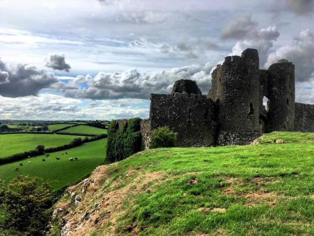 CastleCastle, unclassified · 1702 yd
Explorer Tom Castle in Castlecarragh bragged about surviving a storm, but honestly, it’s just a smudge on an old map now. Nobody…
 Grange UpperMountain / peak · 1.2 mi
Explorer Tom Grange Upper hears everything through its walls, including the sound of your footsteps and the internal monologue of…
 Newtown GraveyardCemetery · 1.4 mi
Explorer Tom Newtown Graveyard in County Louth wants its tombstone to read: 'He died of old age, not boredom, so stop asking me…
More things to do in County Louth · All of County Louth

What do you know about this place?Tap to add a comment or ask a question