What is recorded here
A report dated, 27 August 1984, recorded the former presence a single large stone slab or flagstone was used as a bridge to cross the River Gaine at this point but it had been broken up as part of improvement works undertaken on the river (SMR file). This stone slab may have been the footbridge described in 1682 by…
Read the whole record
From the National Monuments Service (Archaeological Survey of Ireland) record WM012-033
Places near here
Photo credits
- Maker not stated on source page, commons.wikimedia.org
- Maker not stated on source page, letsgowiththechildren.co.uk
- National Inventory of Architectural Heritage
- Maker not stated on source page, uk.pinterest.com
- Kath O’Grady Reilly and John McCauley credited collectively for the article photographs; this frame is not individually attributed, www.westmeathexaminer.ie
 Earthwork in Galmoylestown LowerEarthwork · 1008 yd
Explorer Tom Earthwork in Galmoylestown Lower loves 'Bohemian Rhapsody' because it also has no clear structure or shape. It’s a…
 Earthwork in TyfarnhamEarthwork · 1057 yd
Explorer Tom Earthwork in Tyfarnham is sitting there looking smug in its poorly drained grassland. If it had to teach history, it…
 Standing stone (present location) in TyfarnhamStanding stone (present location) · 1364 yd
Explorer Tom Standing stone in Tyfarnham is stuck in a massive feud with the ringfort next door over who gets the best sunset view…
 Fairy fort / ringfort in GarrysallaghFairy fort / ringfort · 1381 yd
Explorer Tom Fairy fort / ringfort in Garrysallagh is feuding with the rain because it keeps eroding its edges into a semi-circle…
 Fairy fort / earthen ringfort in PortnashanganFairy fort / earthen ringfort · 1542 yd
Explorer Tom Fairy fort / earthen ringfort in Portnashangan had a prophecy that said it would one day become a parking lot for fairy…
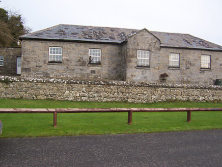 Ballynafid National SchoolSchool · 1569 yd
Explorer Tom Ballynafid National School in Knightswood is humming its favourite tune, which sounds suspiciously like a lullaby for…
 CastleCastle, unclassified · 1573 yd
Explorer Tom Castle in Loughanstown has an imaginary twin across the sea that it writes letters to about how green its mound is…
Fairy fort / earthen ringfort in GarrysallaghFairy fort / earthen ringfort · 1666 ydExplorer Tom Fairy fort / earthen ringfort in Garrysallagh is currently in a bitter dispute with the fairies over who gets to park…
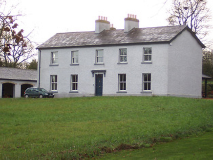 Portnashangan HouseHouse · 1.0 mi
Explorer Tom Portnashangan House would post a selfie with its renovated facade and caption it ‘living my best life’ while secretly…
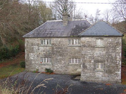 Ric barracks1.1 mi
Explorer Tom Ric barracks in Ballynafid is glaring at the modern buildings that replaced it with pure aristocratic disdain. Those…
 The Rock CemeteryCemetery · 1.8 mi
Explorer Tom The Rock Cemetery was built on a bargain where someone traded a sheep for a plot of prime real estate, and the sheep…
 Multyfarnham GAA pitchGAA ground · 2.1 mi
More historic places in County Westmeath · All of County Westmeath

What do you know about this place?Tap to add a comment or ask a question