
What is recorded here
Single-arch road-over-river bridge, built c. 1820. Segmental-headed arch with rubble voussoirs, random rubble soffit to vault. Random uncoursed rubble limestone piers, spandrels and parapets, rough stone coping on edge to parapets. Single lane carriageway over running north to south with vegetation growth to verges and to east and west parapets, all spanning a small river.
A good example of a simple rural bridge built with traditional construction methods and forming an attractive feature in the landscape. The Ordnance Survey first edition six-inch map of c. 1837 shows an extensive flax and corn mill complex with associated mill ponds to either side of the bridge, making it’s a construction a vital element within the local industrial and road transport network.
This does not grant access. Most recorded buildings are privately owned; view them only from public ground unless the owner allows entry.
Places near here
 Enclosure in DooishEnclosure · 193 yd
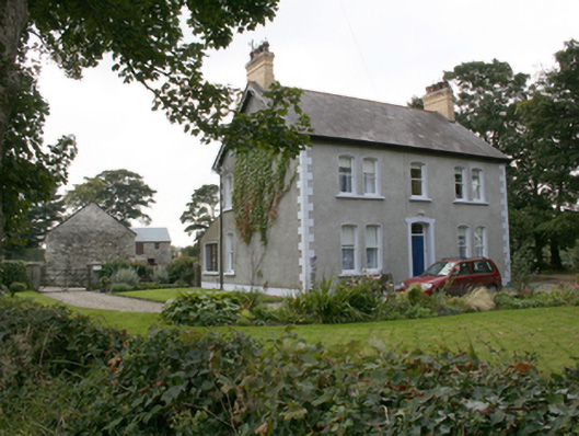 farm housefarm house · 877 yd
 Milltown EnclosureEnclosure · 1235 yd
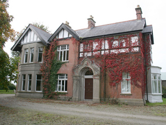 Drumbarnethouse · 1.4 mi
 Burt CastleCastle, tower house · 3.6 mi
 Fort Stewart in RuinsBawn · 4.4 mi
 RowanRowan · 4.8 mi
 European YewEuropean Yew · 4.8 mi
 Grianán of AileachFairy fort / stone ringfort · 5.5 mi
 Greenan MountainMountain / peak · 5.5 mi
 Mongorry HillMountain / peak · 6.4 mi
 Tullyaughnish Old Church GraveyardGraveyard · 6.4 mi
Other information
Photo: National Inventory of Architectural Heritage · Website use allowed for educational or private purposes with source credit