
What is recorded here
Single-arch bridge carrying road over the former Burton Junction to Letterkenny narrow gauge railway line, built c. 1883. Railway out of use from 1953; side elevations of bridge now largely overgrown. Segmental-headed arch with brick voussoirs (now with roughcast render over) and with brick construction to arch barrel. Squared rock-faced rubble stone construction to spandrels and to parapets with rough-faced quoins to corners of piers below arch springing point. Rubble stone coping to parapets. Single lane tarmacadam deck with grass verges. Roughly squared rubble stone retaining walls aligning former railway cutting. Located to the south-west of Newtowncunningham and to the north of Manorcunningham.
This fine former railway bridge retains its early form and character despite the closure of the railway line in 1953 and its subsequent disuse. The good-quality rock-faced masonry used in its construction is typical of Victorian railway engineering and architecture in Ireland. It survives in good condition, which is testament to the quality of its original construction, and the skill of the masons involved. This bridge was built as part of the Londonderry\Derry (Middle Quay) to Burtonport line, which was originally contrived by the Londonderry & Lough Swilly Railway Company. This section, Burt Junction to Letterkenny, was opened in June 1883 by the Letterkenny Railway Company); the Letterkenny to Burtonport section was opened later in March 1903 by the Letterkenny & Burtonport Extension Railway Company. This section of line (Burt Junction to Letterkenny) closed completely in 1953. This line was built to the 3ft narrow gauge. It is similar in form to other railway bridges to the north\north-east (see 40905420 and 40905421). This bridge now acts as an interesting historical reminder of the formerly extensive railway network in County Donegal, and is an integral element of the built heritage of the local area and of the wider transport heritage of the county.
This does not grant access. Most recorded buildings are privately owned; view them only from public ground unless the owner allows entry.
Places near here
 Enclosure in DooishEnclosure · 888 yd
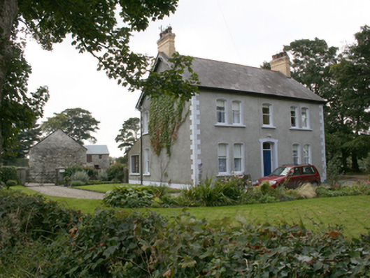 farm housefarm house · 1414 yd
 ToberslaneHoly well · 1.0 mi
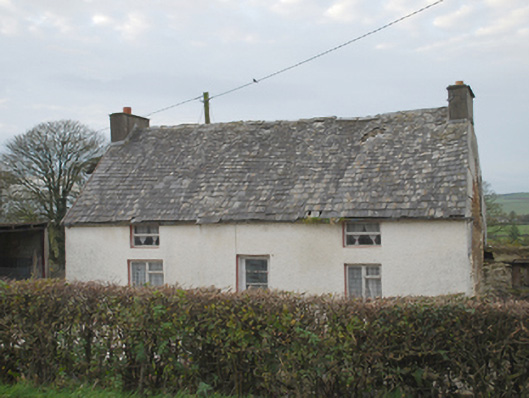 Woodtownhouse · 1.3 mi
 Burt CastleCastle, tower house · 4.1 mi
 RowanRowan · 4.5 mi
 European YewEuropean Yew · 4.5 mi
 Fort Stewart in RuinsBawn · 4.6 mi
 Mongorry HillMountain / peak · 5.9 mi
 Grianán of AileachFairy fort / stone ringfort · 6.1 mi
 Greenan MountainMountain / peak · 6.1 mi
 Tullyaughnish Old Church GraveyardGraveyard · 6.4 mi
Other information
Photo: National Inventory of Architectural Heritage · Website use allowed for educational or private purposes with source credit