
What is recorded here
Situated atop a rise of ground with good views in all directions, especially to the NE -NW where it looks towards Black Mountain and Slieve Gullion. This round topped granite boulder is located beside the townland boundary of Redcow and near the meeting point of two other townland boundaries of Ballynahattin and…
Read the whole record
From the National Monuments Service (Archaeological Survey of Ireland) record LH007-179
Places near here
Photo credits
- Maker not stated on source page, www.atlasobscura.com
- Maker not stated on source page, commons.wikimedia.org
- Eric Jones, commons.wikimedia.org
- Maker not stated on source page, www.dreamstime.com
- National Inventory of Architectural Heritage
- TommyMurf, Wikimedia Commons · CC BY-SA 4.0
- Garry Dickinson, Geograph · CC BY-SA 2.0
- Dundalk99, Wikimedia Commons · CC BY-SA 4.0
- DarranRaff, Wikimedia Commons · CC BY-SA 4.0
- Eric Jones, Geograph · CC BY-SA 2.0
 CairnCairn, burial cairn · 646 yd
Explorer Tom Cairn in Ballynahattin is where the poet fell into the ditch nearby. It’s got concentric circles of burials, which…
 Fairy fort / earthen ringfort in Glebe (dundalk Upper By., Dundalk Par.)Fairy fort / earthen ringfort · 905 yd
Explorer Tom Fairy fort / earthen ringfort in Glebe started when two lads bet they could build a circle in a day. They didn’t, but…
 St. Bridget's GAA, DowdallshillGAA ground · 961 yd
 Flat cemetery in Faughart LowerFlat cemetery · 1308 yd
Explorer Tom Faughart Lower was dug up for a bypass, finding prehistoric pots next to cremated bones. A tragic love story ended…
 Mapped cemeteryCemetery · 1343 yd
Explorer Tom Mapped cemetery in County Louth was predicted to turn into a shopping mall by 1995, which obviously never happened…
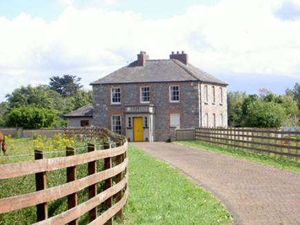 Mount Saint FrancesHouse · 1516 yd
Explorer Tom Mount Saint Frances in Aghaboys has a porch with balustrades that look like they’re judging your posture. Some bishop…
 Battle of FaughartMajor battlefield · 1553 yd
Explorer Tom The Battle of Faughart happened here in 1318, and its least favourite visitor is definitely anyone bringing a picnic…
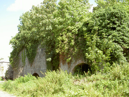 Mount Pleasant Lime WorksKiln · 1.0 mi
Explorer Tom Mount Pleasant Lime Works was nearly sold off as a horse stable because nobody could agree on what it was. It’s a…
 CastleCastle, tower house · 1.6 mi
Explorer Tom Castle in Castletown ended up here because Richard Bellew got confused about which side of town was cool. It’s a tower…
 Castletown MotteArchaeological place · 1.9 mi
Explorer Tom Castletown Motte has squeezed a fort, an underground passage and a rich man's folly onto one Dundalk hill. No wonder it…
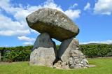 Proleek DolmenArchaeological place · 1.9 mi
Explorer Tom Proleek Dolmen balances a mighty stone in a way that makes me suspicious of my own wobbly garden wall. The portal tomb…
 Soldiers' PointHeadland · 2.5 mi
Explorer Tom Greenore Point handles its nosey neighbours by simply ignoring them and pointing at the mountains across the water…
More archaeology and monuments in County Louth · All of County Louth

What do you know about this place?Tap to add a comment or ask a question