What is recorded here
No visible earth remains, only a ghost circle in the crops. The boundary is written in shade and growth, a hidden chamber beneath the soil. The land remembers the shape long after human hands forgot it.
The following description is derived from both the published 'Archaeological Inventory of County Louth' (Dublin: Stationery Office, 1986) and the 'Archaeological Survey of County Louth' (Dublin: Stationery Office, 1991). In certain instances the entries have been revised and updated in the light of recent research.
Date of upload/revision: 17 July 2007
Enclosure (max. diam. c. 43m) showing as a circular cropmark with semi-circular cropmark on SE representing a crescentic annexe (dims. c. 60m NE-SW, c. 26m NW-SE). (CUCAP, BGL 43)
The monument record does not grant public access. Check the route and ask the landowner before entering private land.
- What survives
- Recorded monument
Places near here
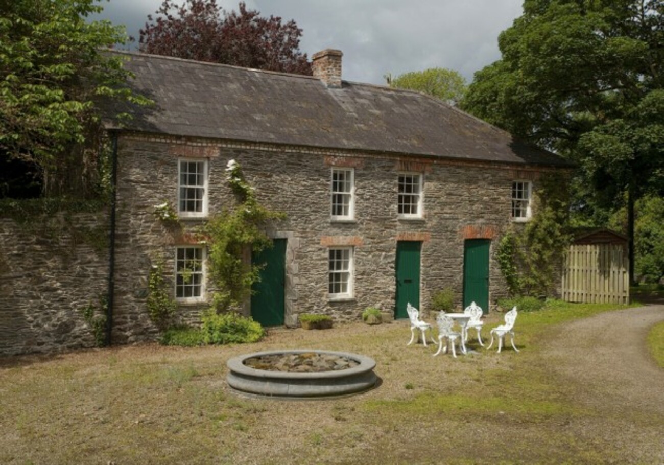 Enclosure in RedcowEnclosure · 378 yd
 Man-made underground passage in Carn MoreMan-made underground passage · 913 yd
 Battle of FaughartMajor battlefield · 1740 yd
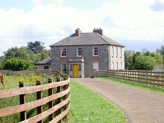 Mount Saint Franceshouse · 1756 yd
 KilnKiln, corn-drying · 1.0 mi
 Raskeagh FortCastle, motte and bailey · 1.5 mi
 Castletown MotteArchaeological place · 1.8 mi
 Louth County MuseumMuseum · 1.8 mi
 Maid of ErinMemorial · 1.8 mi
 Bombing 1975Memorial · 1.9 mi
 MonascreebeMountain / peak · 2.1 mi
 Proleek DolmenArchaeological place · 2.1 mi