What is recorded here
Situated on a slight SW-facing slope. Wright (1758, vol. 3, 9-10, pl. 3) records and illustrates the remains of two concentric stone circles enclosed by an earthen bank with an external fosse. Outside this earthwork is a further stone circle enclosing all the other monuments. All the features were open to the E in the…
Read the whole record
From the National Monuments Service (Archaeological Survey of Ireland) record LH007-012
Places near here
Photo credits
- Maker not stated on source page, www.pinterest.com
- National Inventory of Architectural Heritage
- Maker not stated on source page, monumentalireland.ie
- Maker not stated on source page, commons.wikimedia.org
- Eric Jones, commons.wikimedia.org
- Maker not stated on source page, www.atlasobscura.com
- Maker not stated on source page, ru.pinterest.com
- Garry Dickinson, Geograph · CC BY-SA 2.0
 Stone circle in Carn BegStone circle · 23 yd
Explorer Tom Stone circle in Carn Beg hides a scandal involving a missing goat and a broken promise from 1758. It's been quiet ever…
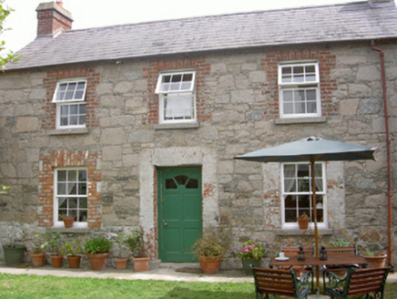 Mill CottageGate lodge · 846 yd
Explorer Tom Mill Cottage is dealing with a serious fairy dispute over parking rights in the carriage arch. The mill is gone but the…
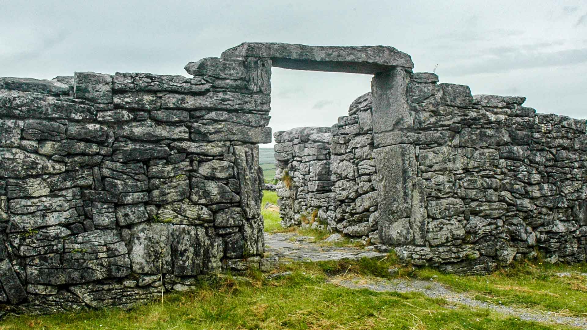 Fairy fort / earthen ringfort in Carn MoreFairy fort / earthen ringfort · 879 yd
Explorer Tom Fairy fort in Carn More would introduce itself as 'the half-done masterpiece of the century.' It’s just the north-east…
 Fairy fort / earthen ringfort in Glebe (dundalk Upper By., Dundalk Par.)Fairy fort / earthen ringfort · 910 yd
Explorer Tom Fairy fort / earthen ringfort in Glebe started when two lads bet they could build a circle in a day. They didn’t, but…
 Boundary stone in RedcowBoundary stone · 1199 yd
Explorer Tom Boundary stone in Redcow has a smuggling story involving cheese, a goat, and a very confused farmer. It’s just sitting…
 St. Bridget's GAA, DowdallshillGAA ground · 1205 yd
 CairnCairn, burial cairn · 1221 yd
Explorer Tom Cairn in Ballynahattin is where the poet fell into the ditch nearby. It’s got concentric circles of burials, which…
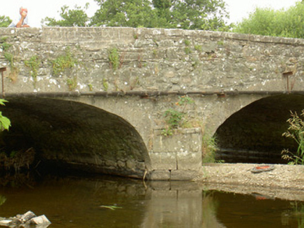 Saint John's BridgeBridge · 1311 yd
Explorer Tom Saint John’s Bridge sings ‘Bridge over Troubled Water’ because it feels a bit dramatic. The masonry is nice, but the…
 Standing stoneStanding stone, pair · 1600 yd
Explorer Tom Standing stone pair in Balregan survived a bidding war from a very aggressive cow who wanted one for her garden. They…
 Mapped cemeteryCemetery · 1735 yd
Explorer Tom Mapped cemetery in County Louth was predicted to turn into a shopping mall by 1995, which obviously never happened…
 Castletown New CemeteryGraveyard · 1758 yd
Explorer Tom Castletown New Cemetery in County Louth has an unlikely celebrity friend who is actually just a very loud pigeon that…
 CastleCastle, tower house · 1.0 mi
Explorer Tom Castle in Castletown ended up here because Richard Bellew got confused about which side of town was cool. It’s a tower…
More archaeology and monuments in County Louth · All of County Louth

What do you know about this place?Tap to add a comment or ask a question