What is recorded here
Carrigarreely Castle (LI014-033----) described in 1840 as follows; 'This castle is placed on a limestone rock, about 2 chains (40m) in diameter and 20 feet (6.1m) high. It retains the appearance of a strong building, and is about 60 feet (18.3m) high and 24 feet (7.3m) wide, being square' (OSNB Caherconlish Parish, 305). The Ordnance Survey Letters recorded that the 'walls are perfect. It measures nineteen feet eight inches by fourteen and a half feet in the clear and has five stories; the fourth floor is arched underneath. The height of the structure is about seventy feet and the thickness of the walls about six and a half feet' (OSL Caherconlish Parish, 117-8). The 1654-56 Civil Survey of Limerick recorded that the Lord of Brittas was the owner of 'a Castle [LI014-033---), and a bawen' (Simington 1938, 64). The precise location of the bawn around the castle of Carrigarreely has not been identified.
Carrigarreely Castle (LI014-033----) described in 1840 as follows; 'This castle is placed on a limestone rock, about 2 chains (40m) in diameter and 20 feet (6.1m) high. It retains the appearance of a strong building, and is about 60 feet (18.3m) high and 24 feet (7.3m) wide, being square' (OSNB Caherconlish Parish, 305). The Ordnance Survey Letters recorded that the 'walls are perfect. It measures nineteen feet…
From the National Monuments Service (Archaeological Survey of Ireland) record LI014-033001
The monument record does not grant public access. Check the route and ask the landowner before entering private land.
- What survives
- Recorded monument
Places near here
Photo credits
- National Inventory of Architectural Heritage
- Ronnie Nijboer, Wikimedia Commons · CC0
- Garry Dickinson, Geograph · CC BY-SA 2.0
- Mike Searle, Wikimedia Commons · CC BY-SA 2.0
Site of Killanoher Burial GroundChildren's burial ground · 738 ydEnclosure in SkahardEnclosure · 1130 yd Highpark HouseCountry house · 1442 ydSt Lawrence's WellSpring · 1.0 miCaherconlish ChurchChurch/chapel, mausoleum · 1.1 miMichael LynchHouse · 1.1 miWych Elm1.3 miCastleCastle, motte and bailey · 3.4 miGraveyard in AbingtonGraveyard · 3.6 miRockstown Castle (in ruins)Castle, tower house · 3.7 miSkool HillMountain / peak · 4.3 miBanoge's WellSpring · 4.3 mi
 Highpark HouseCountry house · 1442 ydSt Lawrence's WellSpring · 1.0 mi
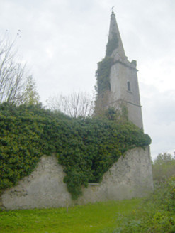 Caherconlish ChurchChurch/chapel, mausoleum · 1.1 mi
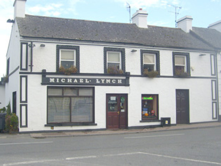 Michael LynchHouse · 1.1 mi
 Wych Elm1.3 mi
 CastleCastle, motte and bailey · 3.4 miGraveyard in AbingtonGraveyard · 3.6 mi
 Rockstown Castle (in ruins)Castle, tower house · 3.7 miSkool HillMountain / peak · 4.3 miBanoge's WellSpring · 4.3 mi
More castles and forts in County Limerick · All of County Limerick
What do you know about this place?