What is recorded here
Downs and civil surveys still argue about whether one bawn enclosed two castles or two castles wore one bawn. That ambiguity is the shape of the place: a border drawn around its own uncertainty. Theobald Bourke stood inside the line while surveyors measured the shadow of his name. Stone may have vanished, but the perimeter remains alive in the disagreement about what it surrounded.
The precise location of a castle (LI014-175----) and bawn in the townland of Brittas has not been identified. Tower-house like castle and a second castle (LI014-058----) are depicted on the 17th century Down Survey map of Clanwilliam Barony (Hib. Reg.) and on the parish map of Caherconlish (NLI MS. 718). The 1654-56 Civil Survey of Limerick recorded that Theobald, Lord Bourke, Baron of Brittas, an Irish Papist, was the owner of 'two castles (LI014-058----) and a bawen' (Simington 1938, 63). It is not clear if the reference to the bawn in the 1654-56 Civil Survey refers to Brittas Castle (LI014-058---) or to a bawn enclosing the unlocated castle (LI014-175----).
Compiled by: Caimin O'Brien
Date of upload: 1 December 2020
A castle and bawn in Brittas were likely held by local Gaelic or Anglo-Irish lords during the 16th or 17th century; their depiction on the Down Survey map highlights their role in the colonial and territorial landscape of the period.
The monument record does not grant public access. Check the route and ask the landowner before entering private land.
- What survives
- Recorded monument
Places near here
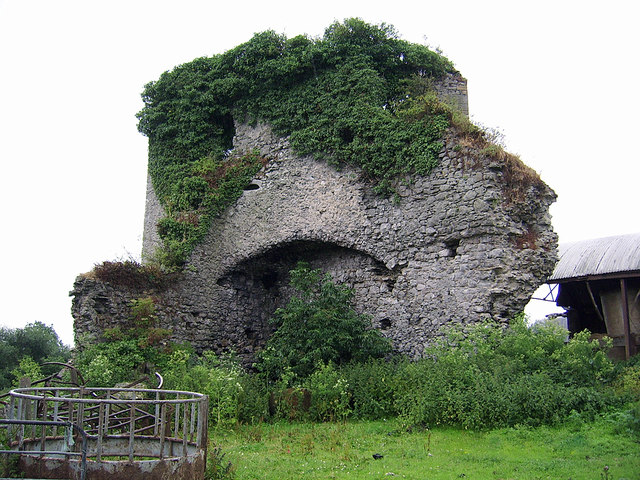 CastleCastle, motte and bailey · 320 yd
 Castle (in ruins)Castle, Anglo-Norman masonry castle · 342 yd
 Brittas Bridgebridge · 358 yd
 Enclosure in BallyartEnclosure · 1228 yd
 Eyon Housecountry house · 1279 yd
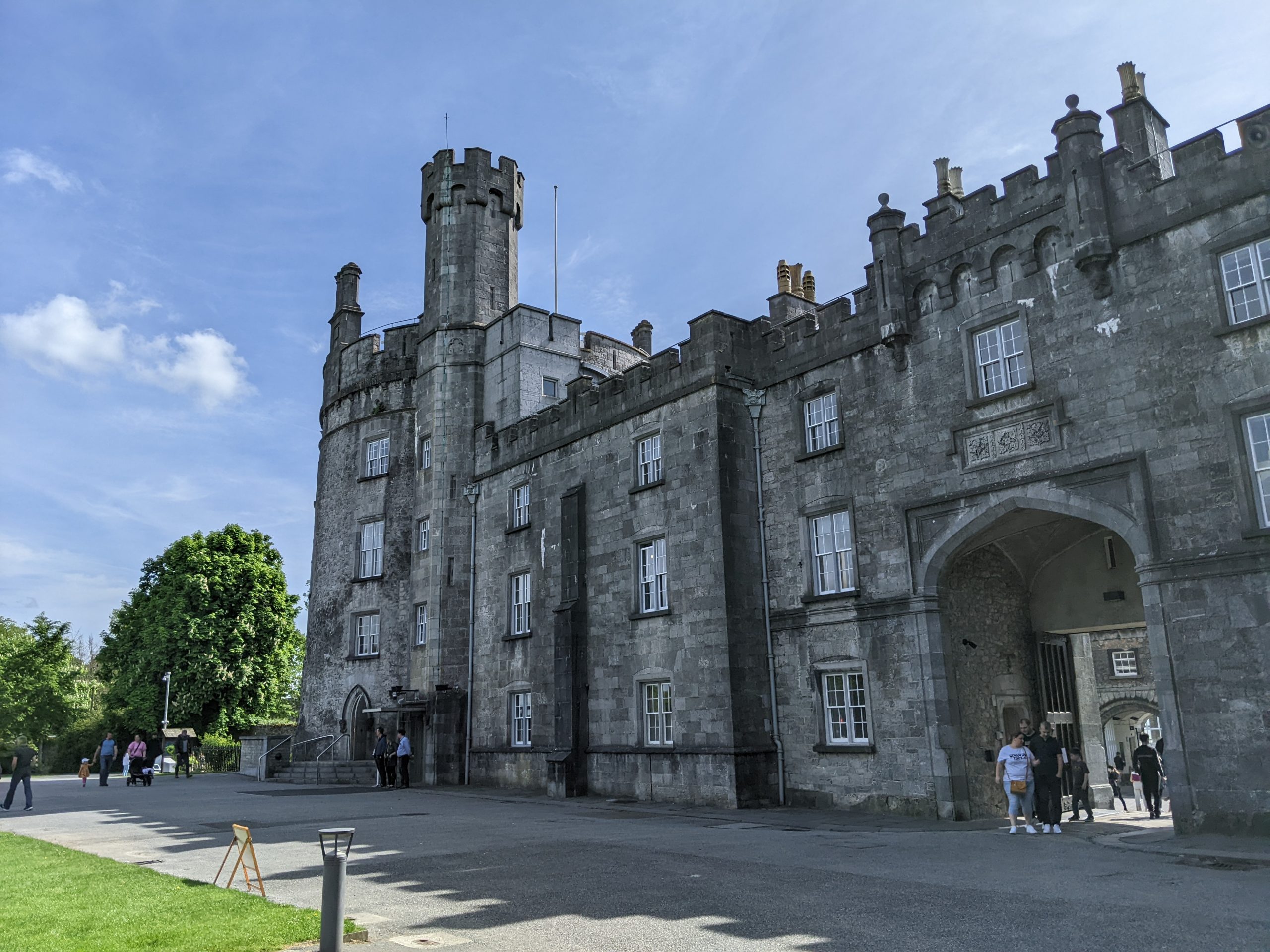 Enclosure in Castle-Erkin NorthEnclosure · 1324 yd
 Graveyard in AbingtonGraveyard · 1.7 mi
 Sliev Felim WayVisitor information · 2.9 mi
 KnockseefinMountain / peak · 3.9 mi
 ToberagaddySpring · 4.8 mi
 Slieve Felim WayWalking route · 5.3 mi
 St. Patrick's WellSpring · 5.7 mi