Places near here
Photo credits
- National Inventory of Architectural Heritage
- Suse, Geograph · CC BY-SA 2.0
- PST Sport (project contractor and publisher); individual photographer not named, pstsport.com
- Picture: en.wikipedia.org
- Sawyer777, Wikimedia Commons · CC BY-SA 4.0
- Gillaween, Wikimedia Commons · CC BY-SA 4.0
- Bob Embleton, Wikimedia Commons · CC BY-SA 2.0
- Djm-leighpark, Wikimedia Commons · CC BY-SA 4.0
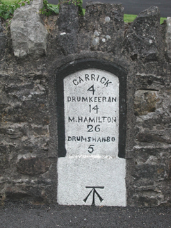 milestone/milepost1029 yd
Explorer Tom Milestone or milepost in Leitrim bragged about surviving a storm that probably didn’t even happen to make itself sound…
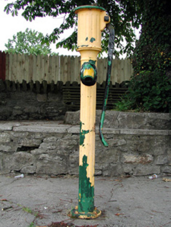 water pump1083 yd
Explorer Tom Water pump in Leitrim is screaming at the council that nobody has oiled its elbow since 1920. It stands at the junction…
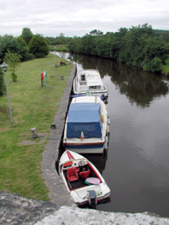 canal (section of)1198 yd
Explorer Tom Canal in Leitrim would have a tombstone saying 'I flowed away from my problems and never looked back'. The quay walls…
 Shannon-Erne WaterwayVisitor information · 1205 yd
Explorer Tom The Shannon-Erne Waterway was the result of a bad bet between two kings who couldn't agree on which river was more…
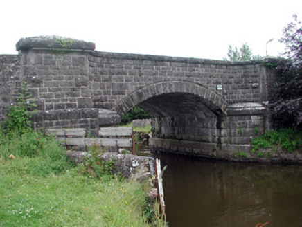 Leitrim BridgeBridge · 1209 yd
Explorer Tom Leitrim Bridge thinks Dublin tourists are just big fish trying to cross the canal. It was built high up because…
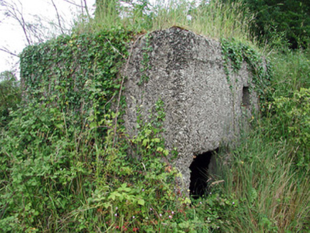 pill box1347 yd
Explorer Tom Pill box in Tullylannan nearly got famous when a tourist mistook it for a giant concrete egg. It’s a WWII relic that…
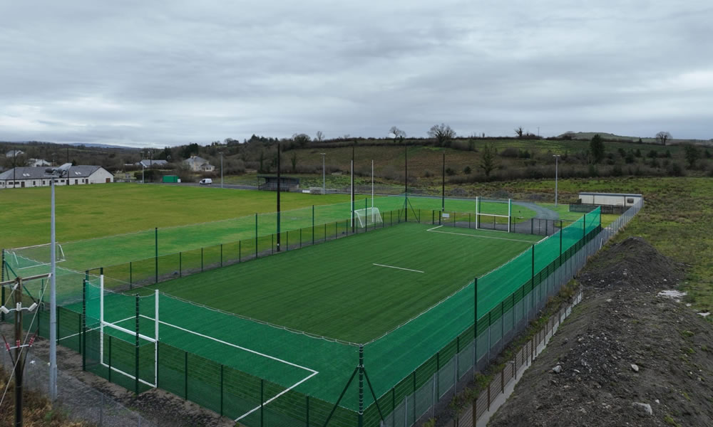 Leitrim Gaels Community FieldGAA ground · 1588 yd
 Pairc Naoimh Mhuire, St. Mary's GAA, KiltoghertGAA ground · 3.3 mi
 Queen Medb: RathcroghanLegend location · 16 mi
Explorer Tom Queen Medb: Rathcroghan is where the Táin starts turning a quarrel about a bull into an epic. Medb had a royal seat…
 The Mórrígan: OweynagatLegend location · 17 mi
Explorer Tom The Mórrígan: Oweynagat is called the Cave of Cats, which fooled me into expecting a very ordinary sort of trouble.…
 Tobernalt Holy WellSpring · 23 mi
Explorer Tom Tobernalt Holy Well lies near Lough Gill in County Sligo, where people come to pray, pause and leave the hurry of the…
 ToberanaltHoly well · 23 mi
Explorer Tom Toberanalt holy well has a legend about a hidden tunnel that goes straight to the local pub, but nobody believes me.…
More historic places in County Roscommon · All of County Roscommon

What do you know about this place?Tap to add a comment or ask a question