
What is recorded here
From the National Monuments Service (Archaeological Survey of Ireland) record SL014-238
The monument record does not grant public access. Check the route and ask the landowner before entering private land.
- What survives
- Recorded monument
Places near here
 Tobernalt Holy WellSpring · 6 yd
 Green IslandIslet · 585 yd
 Strawberry tree1060 yd
 Cottage IslandIslet · 1544 yd
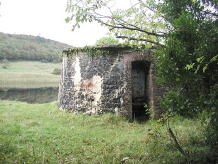 Hazelwood HouseBuilding misc · 1635 yd
 Holm Oak1663 yd
 Hazelwood HouseCountry house · 1736 yd
 Sligo AbbeyHeritage attraction · 2.1 mi
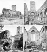 Sligo AbbeyMuseum · 2.1 mi
 Sligo Masonic HallMemorial · 2.2 mi
 SligoVisitor information · 2.2 mi
 St. John's CathedralMemorial · 2.2 mi
Pictures: Bob Embleton, Wikimedia Commons · CC BY-SA 2.0; D Gore, Geograph · CC BY-SA 2.0; Didier Descouens, Wikimedia Commons · CC BY-SA 4.0; Oliver Dixon, Geograph · CC BY-SA 2.0; National Inventory of Architectural Heritage; Lucarelli, Wikimedia Commons · CC BY-SA 3.0; Zxcode, Wikimedia Commons · CC BY-SA 3.0; PaulT, Wikimedia Commons · CC BY-SA 4.0; National Library of Ireland on The Commons, Wikimedia Commons · No restrictions; A.-K. D., Wikimedia Commons · CC BY-SA 4.0; Kenneth Allen, Geograph · CC BY-SA 2.0
More archaeology and monuments in County Sligo · All of County Sligo
What do you know about this place?