What is recorded here
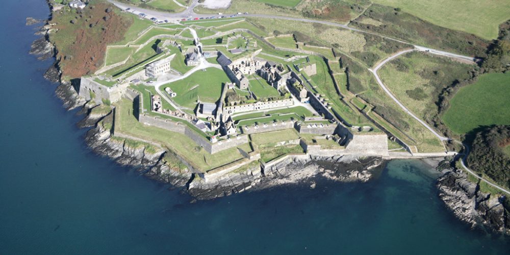
There is a star shaped fort depicted on Baptista Boazio's chart of the 1590s. Not marked on the Downe Survey or on any ed. of the OS 6-inch map. The exact location is unknown.
Compiled by: Geraldine Stout
Date of upload: 18 July 2013
A local fairy fort (ringfort/rath); wider significance not recorded.
The monument record does not grant public access. Check the route and ask the landowner before entering private land.
- What survives
- Recorded monument
Places near here
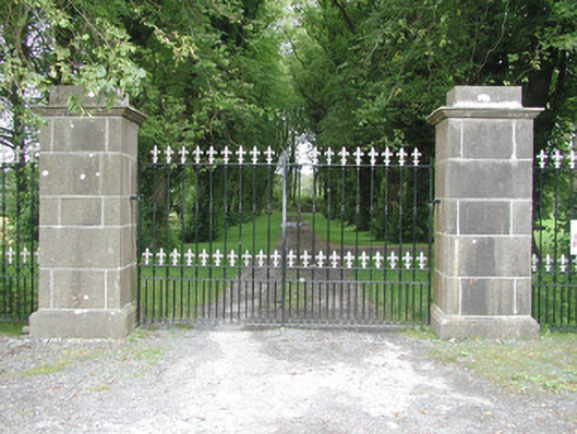 Longford Housegates/railings/walls · 91 yd
 Bawn in Longford DemesneBawn · 168 yd
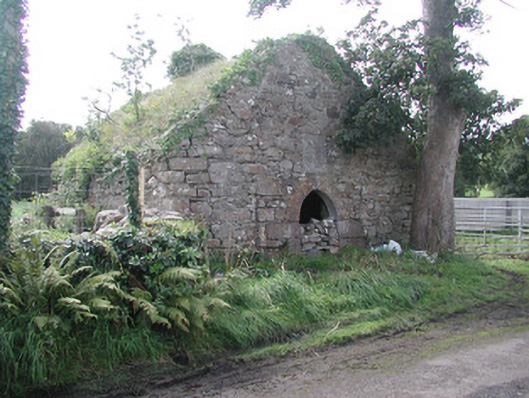 forge/smithyforge/smithy · 296 yd
 Pigeonpark WoodForest · 331 yd
 Valley WoodForest · 455 yd
 Enclosure in Longford DemesneEnclosure · 563 yd
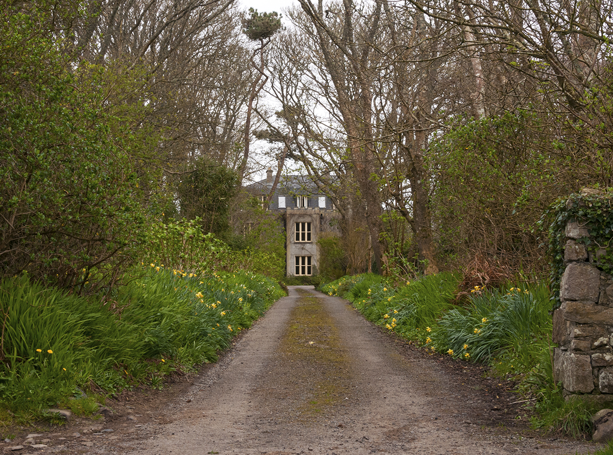 Man-made underground passage in CarrowardMan-made underground passage · 786 yd
 Giant's GraveArchaeological place · 1.4 mi
 CloonaghMountain / peak · 1.8 mi
 CastleCastle, ringwork · 2.3 mi
 Lahanacappul IslandIslet · 2.5 mi
 Ballinlig PointHeadland · 2.7 mi
Other information
Photo: Credit not shown in the picture search · Rights wording not checked; contact us if this picture should be removed