What is recorded here
Situated on the gentle SW-facing slope of a hill, in pasture. A circular site (12.8m N-S; 12.8m E-W) consisting of a central mound (diam. 4.8m; H 0.26m), a narrow, U-shaped fosse (W 1.7m; D 0.86m) and an outer bank (W 2m; ext. H 0.14m). The bank is steep-sided and the fosse is well defined with some rushes growing in it.
The above description is derived from 'The Archaeological Inventory of County Tipperary. Vol. 1 - North Tipperary' compiled by Jean Farrelly and Caimin O'Brien (Dublin: Stationery Office, 2002). In certain instances the entries have been revised and updated in the light of recent research.
Date of upload/revision: 22 September 2008
A Neolithic ring-barrow, dating to approximately 3000–2500 BCE, characterized by a central burial mound, surrounding fosse, and outer bank. Such monuments are significant as early funerary and ceremonial structures, reflecting communal burial practices and social organization in prehistoric Britain.
The monument record does not grant public access. Check the route and ask the landowner before entering private land.
- What survives
- Recorded monument
Places near here
 KnocknabanshaMountain / peak · 1264 yd
 KnockmaroeMountain / peak · 1634 yd
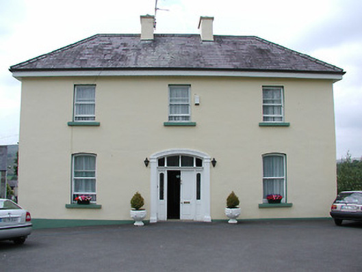 presbytery/parochial/curate's housepresbytery/parochial/curate's house · 1.2 mi
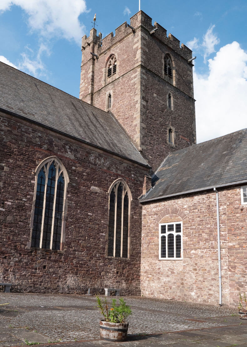 Benedictine Priory (site of)Church · 1.2 mi
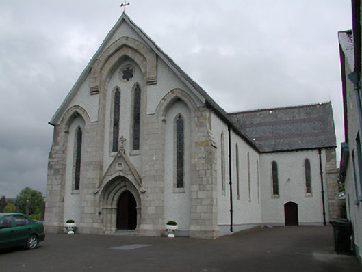 Saint Patrick's Catholic Churchchurch/chapel · 1.3 mi
 Wedge tomb in Knockcurraghbola CommonsWedge tomb · 2.0 mi
 Site of Cashlauncreen CastleCastle, tower house · 3.9 mi
 Site of Cloghonan CastleCastle, unclassified · 5.3 mi
 Killavalla WoodForest · 6.8 mi
 Our Lady Assumed into HeavenMemorial · 8.1 mi
 Ballyhourigan WoodsForest · 8.3 mi
 Slieve Felim WayWalking route · 9.1 mi