
What is recorded here
From the National Monuments Service (Archaeological Survey of Ireland) record GA103-166
Places near here
Photo credits
- National Inventory of Architectural Heritage
- Mac McCarron, Geograph · Creative Commons Attribution-ShareAlike 2.0
- Maker not stated on source page, en.wikipedia.org
- Tom Cosgrave, Wikimedia Commons · CC BY-SA 2.0
- Mike Searle, Geograph · CC BY-SA 2.0
- Maker not stated on source page, archaeology.org
- Maker not stated on source page, wall.alphacoders.com
- Maker not stated on source page, commons.wikimedia.org
- Mac McCarron, Geograph · CC BY-SA 2.0
- Rryswny, Wikimedia Commons · CC BY-SA 4.0
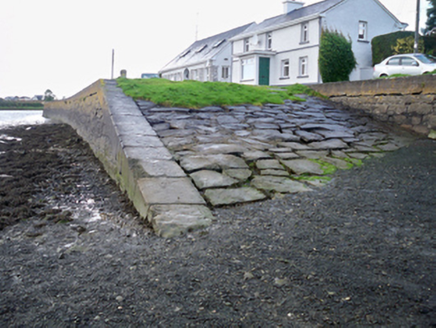 quay/wharf361 yd
Explorer Tom Quay or wharf in Rahaneena refuses to fall down because it’s waiting for someone to pay its parking fees. It’s got…
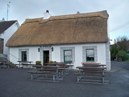 M. MoranHouse · 429 yd
Explorer Tom M. Moran in Rahaneena is hiding a secret tunnel straight to the local pub, I’m sure of it. Thatched roof and thick…
 Grave YardGraveyard · 711 yd
Explorer Tom Graveyard in Stradbally South overlooks the Dunkellin estuary like a proud grandparent watching the waves roll in. That…
 Mapped cemeteryCemetery · 724 yd
Explorer Tom This mapped cemetery is incredibly proud of its ability to grow ivy that looks exactly like a snake. It thinks this…
 Tyrone HouseRuins · 832 yd
Explorer Tom Tyrone House is locked in a feud with the next village over who stole the last pie. It’s ruined itself just to prove it…
 TyroneHouse · 832 yd
Explorer Tom Tyrone House would buy a new roof with its lotto win instead of pretending to be a ruin. It sits high up judging…
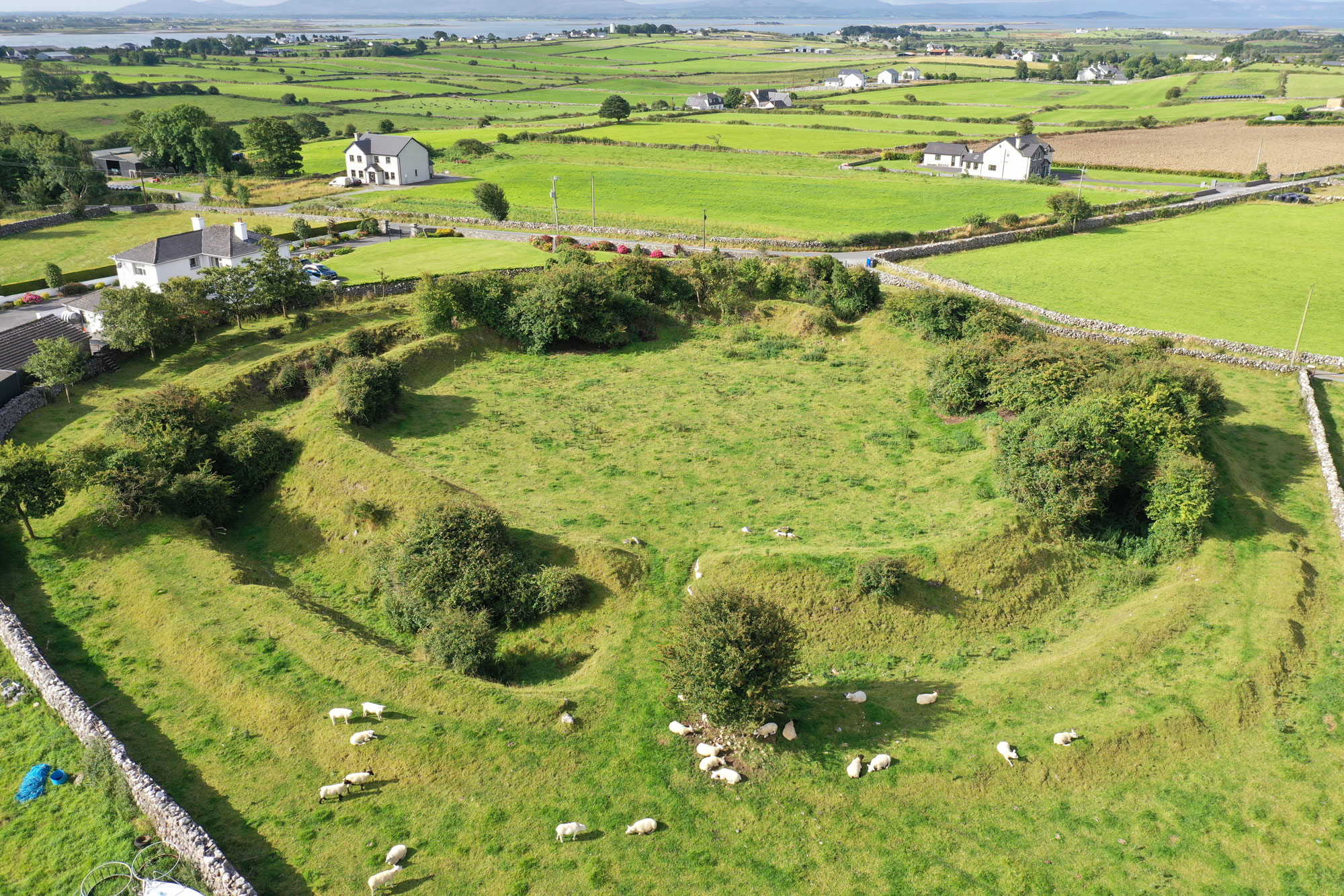 Fairy fort / earthen ringfort in Drumacoo,killeenmunterlane NorthFairy fort / earthen ringfort · 1283 yd
Explorer Tom Fairy fort / earthen ringfort in Drumacoo, Killeenmunterlane North was saved by a hero nobody remembers because he got…
 CastleCastle, unclassified · 1292 yd
Explorer Tom Castle in Stradbally North was known as the Castle of Cladagh, but nobody can find the remains or the tradition. It…
 Church (in Ruins)Church · 1468 yd
Explorer Tom Church in Kilcolgan in County Galway is locked in a bitter feud with the rain and losing badly every single day. The…
 lock1488 yd
Explorer Tom Lock in Ballynamanagh East is just masonry showing off its flex while holding no water. It’s basically a stone…
 Site of Kilcolgan CastleCastle, tower house · 1532 yd
Explorer Tom Site of Kilcolgan Castle in Kilcolgan is basically a ghost with a property dispute. The builder must have been thinking…
 Drumacoo Monastic SiteHeritage attraction · 1588 yd
Explorer Tom Drumacoo Monastic Site near Ballinderreen has a roofless church, a living graveyard and a holy well: plenty of history…
More archaeology and monuments in County Galway · All of County Galway

What do you know about this place?Tap to add a comment or ask a question