
What is recorded here
On a S-facing slope overlooking the estuary of the Dunkellin River to the S and 'Weir Village' to the SW. This rectilinear graveyard (c. 74m NW-SE; c. 57m NE-SW) is enclosed by a stone wall. Access is gained at SE. The remains of a church (GA103-180----) occupy its N half. All the graveslabs and headstones date from the 18th century and later.
From the National Monuments Service (Archaeological Survey of Ireland) record GA103-180001
The monument record does not grant public access. Check the route and ask the landowner before entering private land.
- What survives
- Recorded monument
Places near here
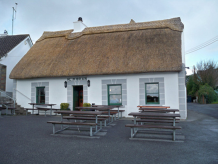 M. MoranHouse · 315 yd
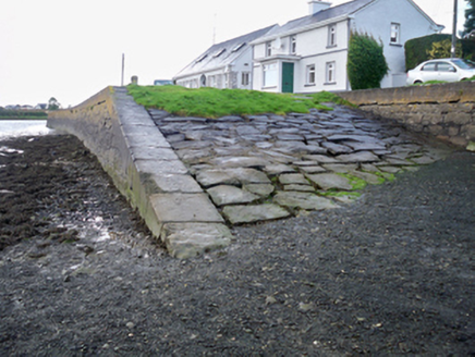 quay/wharf449 yd
 Site of Kilcolgan CastleCastle, tower house · 873 yd
 Drumacoo Monastic SiteHeritage attraction · 1.1 mi
_2.jpg/250px-Well_of_Saint_Sairnait_(Saint_Sourney)_2.jpg "Photo: Rryswny, Wikimedia Commons · CC BY-SA 4.0") St. Sorneys WellHoly well · 1.1 miKilcornan ForestWood · 1.7 mi
St. Sorneys WellHoly well · 1.1 miKilcornan ForestWood · 1.7 mi CastleCastle, tower house · 3.9 mi
 Island EddyIsland · 4.1 mi
 Leadmine HillMountain / peak · 4.6 mi
 InishcorraIslet · 4.7 mi
 Traught BeachBeach / strand · 4.8 mi
 Round Tower5.3 mi
Pictures: National Inventory of Architectural Heritage; Mac McCarron, Geograph · CC BY-SA 2.0; Rryswny, Wikimedia Commons · CC BY-SA 4.0; Mike Searle, Wikimedia Commons · CC BY-SA 2.0; Joseph McGinley, Geograph · CC BY-SA 2.0; Ian Capper, Wikimedia Commons · CC BY-SA 2.0; Ian Capper, Geograph · CC BY-SA 2.0
More archaeology and monuments in County Galway · All of County Galway
What do you know about this place?