DDiscover AloneMapAbout

Barrow in Leny

Barrow, ring-barrow
Computer-made picture that does not show Barrow in LenyNot a photo of this monument
Computer-made picture. It does not show this monument. · Report the wrong picture

The monument record does not grant public access. Check the route and ask the landowner before entering private land.

What do you know about this place?Tap to add a comment or ask a question

What you write will be public.

What is recorded here

Surveyed in 2012 and described by McGuinness (2012, 29-30) as following: ‘Very large, low-relief ring-barrow (Diam. 42m NW-SE) on ground sloping down gently to E, at ESE end of flattish, plateau-like hilltop. Monument comprises a low central platform (Basal Diam. 26m) surrounded by a flat-bottomed ditch, 3m in width…

Read the whole record
Surveyed in 2012 and described by McGuinness (2012, 29-30) as following: ‘Very large, low-relief ring-barrow (Diam. 42m NW-SE) on ground sloping down gently to E, at ESE end of flattish, plateau-like hilltop. Monument comprises a low central platform (Basal Diam. 26m) surrounded by a flat-bottomed ditch, 3m in width at well-preserved NE side, and a low, denuded outer bank, 4.5-6m in width. Central platform rises 0.35m above ditch. Where bank is best preserved, on NE side, it is 0.5m above ditch. At this same point, perpendicular depth of ditch below a line joining top of bank to upper surface of platform is 0.34m. SW side of site has been greatly disturbed and is difficult to make out: what appears to be a disused, grassed-over, slightly raised trackway, 4m in width, runs across the barrow from NW to SE, continuing to SE roughly in direction of Leny church (WM011-028----) which lies downhill to SSE; and immediately beyond this 'trackway' to SW is an old field boundary. Just NE of the barrow but not touching it is another slightly raised linear feature, also with the appearance of a disused trackway 4m in width, running for 92m in a SW-NE direction to edge of field, but not clearly visible in adjacent field. An inspection of the vertical aerial photograph on the National Monuments website strongly suggest that these features are old field fences predating the 1st edition OS 6" map. In adjacent field 16m to NW is a low, oval-shaped eminence clipped by an old quarry at its N end and currently measuring 12.Sm NW-SE x 10m NE-SW. There are what may be traces of a ditch on NW side, suggesting the possibility that this is an artificial mound. Close by in adjacent field to SW, the RMP documents a standing stone (WM011-027----). This sharp-angled rectilinear piece of slate or shale is deeply embedded in the ground, recumbent and barely visible; its maximum visible length and width are 1.06m and 0.30m respectively and its thickness is 0.11m. It is unclear whether it was ever standing upright. A second 'standing stone' (WM011-025----), a sharp-angled rectilinear piece of slate or shale 2.7m long, 0.25¬0.36m wide and 0.17m thick, lies recumbent in a field c. 130m to NW. If it was ever standing it must have fallen down some time ago, as the sod has encroached over its S end. At opposite end of hilltop c. 250m to N are two closely positioned monuments, a flat-topped mound surrounded by a broad ditch (WM011-021----) and what appears to be a platform-barrow (WM011-022----). Leny church (WM011-028----) and burial ground (WM011-028001-), with evidence of a large, curvilinear Early Christian monastic vallum (WM011-028002-) on SW side (Swan 1988, 9), lie at foot of hill c. 250m to SSE. Frewin Hill (WM011-133----) is prominent to S, the barrow at Fulmort (WM011-160----) is prominent on hilltop to N, and Knockdrin (WM012-183----) appears to be visible to SE’. In 1981 the ASI recorded the presence of a possible standing stone (WM011-026001-) situated on the NE bank of the barrow which the fieldworker suggested may have 'been erected in this spot as a scratching post for cattle. The standing stone is a limestone slab, 2m high, uniformly 10-15cm thick, and lying or leaning at an angle of 25 degrees to the SW' (SMR File 15/06/1981) See attached sketch plan of monument drawn by ASI showing location of standing stone.

From the National Monuments Service (Archaeological Survey of Ireland) record WM011-026

Places near here

Photo credits
  • Maker not stated on source page, commons.wikimedia.org
  • National Inventory of Architectural Heritage
  • Maker not stated on source page, www.patrickcomerford.com
  • Maker not stated on source page, www.britainexpress.com
  • Mike Searle, Geograph · CC BY-SA 2.0
  • Maker not stated on source page, br.pinterest.com
  • Individual drone photographer not stated on club homepage, www.bunbrosna.com
  • Maker not stated on source page, www.dreamstime.com
Standing stone in LenyStanding stone · 19 yd

Explorer Tom Standing stone in Leny is leaning at a weird angle because a fox used it as a scratching post once. Tom says the fox…
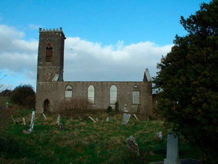
Bunbrosna Church (Leny)Church/chapel · 215 yd

Explorer Tom Bunbrosna Church in Leny is derelict enough that the local priest claims he invented the concept of 'quiet…

Church in LenyChurch · 216 yd

Explorer Tom Church in Leny in County Westmeath has vanished so completely that even the ghosts are confused about which direction…
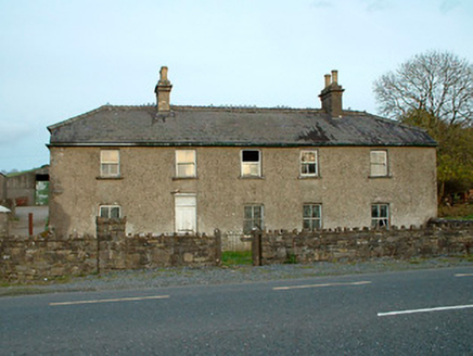
Leny CottageHouse · 491 yd

Explorer Tom Leny Cottage bragged about surviving a storm so bad it blew the roof off its neighbor, which is probably a complete…
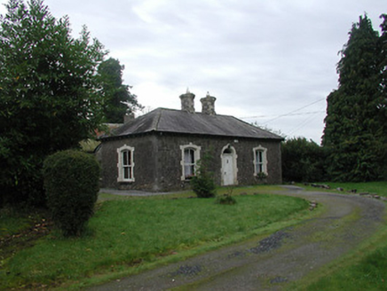
Farra CottageHouse · 505 yd

Explorer Tom Farra Cottage in Rathaniska has a name that sounds like a sneeze caught in a woolly scarf, which is honestly perfect…
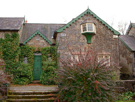
Wilson's HospitalWorker's house · 806 yd

Explorer Tom Wilson's Hospital in Heathland would explain the 1800s to a teenager like this: 'It was all very fancy and also…
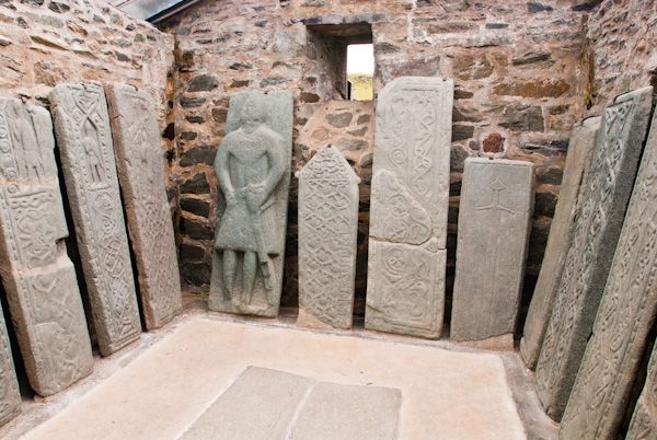
Fairy fort / earthen ringfort in Kilpatrick (corkaree By.)Fairy fort / earthen ringfort · 856 yd

Explorer Tom Fairy fort / earthen ringfort in Kilpatrick took approximately four thousand cups of tea to build because the builder…
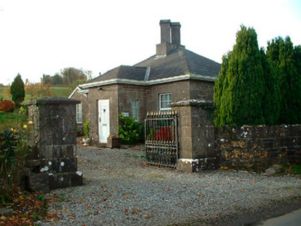
Rathbennett HouseGate lodge · 868 yd

Explorer Tom Rathbennett House gate lodge has had more names than I have ex-girlfriends, and none of them fit well. It lost its…

Carrick CastleCastle · 1191 yd

Explorer Tom Carrick Castle is haunted by the memory of a fiddler who played all night until his fingers gave up, leaving behind…

Castle (in ruins)Castle, tower house · 1191 yd

Explorer Tom The Castle at Carrick was once ruled by a goat named Gerald who ate all the documents. He made sure no one could get in…

Bunbrosna GAA pitchGAA ground · 1.8 miGraveyard in Tristernagh DemesneGraveyard · 2.0 mi

Explorer Tom Graveyard in Tristernagh Demesne has made a New Year's resolution to stop being so mysterious and start showing off its…

More archaeology and monuments in County Westmeath · All of County Westmeath

Add to this placeAdd a picture Add a detailed tip Add a story

Explore the map1,095,414 places to discover

Next place · or swipeStanding stone in Leny