What is recorded here
From the National Monuments Service (Archaeological Survey of Ireland) record WM011-028002
The monument record does not grant public access. Check the route and ask the landowner before entering private land.
- What survives
- Recorded monument
Places near here
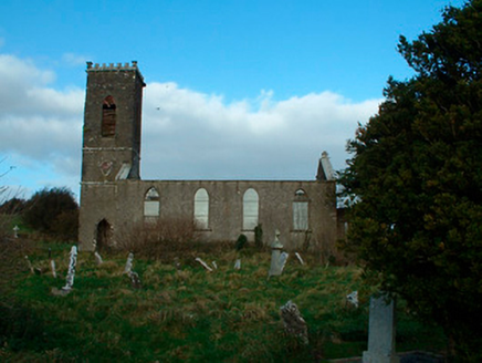 Bunbrosna Church (Leny)Church/chapel · 26 yd
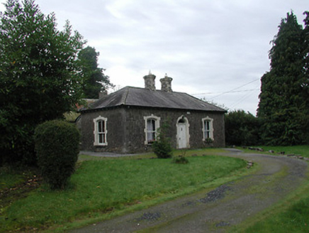 Farra CottageHouse · 485 yd
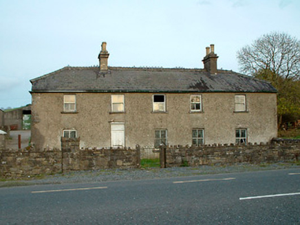 Leny CottageHouse · 630 ydPartially hachuredFairy fort / earthen ringfort · 899 yd
 Carrick CastleCastle · 1422 yd
 Horse-chestnut3.3 mi
 CastleCastle, motte · 4.7 mi
 Silver Fir5.9 mi
 Tullynally CastleCastle · 6.7 mi
 Font in ForeFont · 9.7 mi
_(page_1_crop).jpg/250px-Fore_Abbey,_County_Westmeath,_1835_(IA_jstor-30004138)_(page_1_crop).jpg "Photo: Illustrator not named; The Dublin Penny Journal (1835), public scan from Internet Archive and JSTOR, Wikimedia Commons · Public domain") Fore AbbeyHeritage attraction · 9.9 mi
Fore AbbeyHeritage attraction · 9.9 mi Mullaghmeen Red WalkWalking route · 12 mi
Pictures: National Inventory of Architectural Heritage; Mike Searle, Geograph · CC BY-SA 2.0; Stephan van Helden, Wikimedia Commons · CC BY-SA 4.0; Richard Webb, Geograph · CC BY-SA 2.0; Steve & Jemma Copley on Flickr, Wikimedia Commons · CC BY-SA 2.0; Peter Gavigan, Wikimedia Commons · CC BY-SA 3.0; Marathon, Wikimedia Commons · CC BY-SA 2.0; Illustrator not named; The Dublin Penny Journal (1835), public scan from Internet Archive and JSTOR, Wikimedia Commons · Public domain; Colin Park, Geograph · CC BY-SA 2.0
More archaeology and monuments in County Westmeath · All of County Westmeath
What do you know about this place?