What is recorded here
Situated on the summit of a flat hill in grassland. Bowl barrow (WM011-021----) 170m to NE. Ring barrow (WM011-026---) and standing stone (WM011-026001--) 120m to SE. Standing stone (WM011-027---) 200m to SSE. Present remains consist of a limestone slab (H2.65; Wth 0.35m; T 0.15m) lying in the field which may be a collapsed standing stone.
Compiled by: Frank Coyne and Caimin O'Brien
Date of upload: 14 June 2017
Probably dates to the Neolithic or Bronze Age, given its association with barrows. Likely had a ritual or territorial function, possibly linked to burial practices or landscape marking.
The monument record does not grant public access. Check the route and ask the landowner before entering private land.
- What survives
- Recorded monument
Places near here
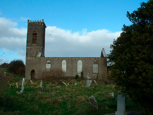 Bunbrosna Church (Leny)church/chapel · 369 yd
 Ecclesiastical enclosure in LenyEcclesiastical enclosure · 394 yd
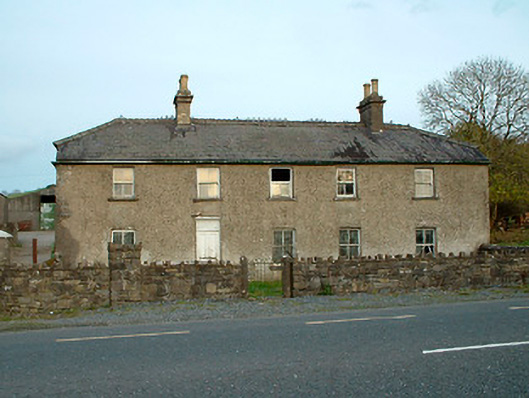 Leny Cottagehouse · 448 yd
 Carrick CastleCastle · 1044 yd
 Partially indicatedFairy fort / earthen ringfort · 1196 yd
 Castle Quarter, Castle (in ruins)Castle, unclassified · 1706 yd
 Bridge Memorial (Kenna)Memorial · 2.0 mi
 Baronstown ForestWood · 3.2 mi
 Horse-chestnutHorse-chestnut · 3.3 mi
 Carrickphilbin IslandIslet · 3.5 mi
 Srudarra IslandIslet · 4.1 mi
 Rock of CurryCliff · 9.3 mi