
What is recorded here
Castle Quarter holds the buried heart of Farrow Castle, where a medieval tower once rose before human hands forgot its shape. The Down Survey still drew the building standing on lands belonging to Sir Thomas Nugent, but later maps trace its descent from ruin to empty ground. A limestone fragment salvaged from the castle now bridges an ordinary fireplace, carrying a chamber of unknown darkness into a kitchen where people still breathe.
Farrow Castle is situated in the farmyard of Castle Quarter amongst a cluster of buildings and depicted as an upstanding building on the 1837 ed. OS 6-inch map. Located 725m E of the shoreline of Lough Iron. Annotated on this map as ‘Castle (in ruins)’ and as 'Castle (Site of) on the revised 1911 ed. OS 25-inch map suggesting that the castle was levelled between the two dates. Only the mortared stone foundations of the N, S and W (L 5.6m; T 0.6m) walls of a rectangular structure of uncertain date are visible adjacent to some disused farm buildings. The wall thickness measuring 0.6m would suggest that this wall dates from the post-1700 period and not from the medieval castle. Directly N of the castle site marked on the OS 6-inch map are the remains of a strongly built stone house with fireplace at one end. There is a substantial buttress on the N wall of this building. In this house there is a fragment of dressed limestone now used as a fireplace lintel appears to have been a medieval jambstone from a door or window in the medieval castle.
Farroe Castle is depicted as a tower house type structure on the 1654-59 Down Survey map of Leny parish (NLI, MS 729). On this map the castle is shown standing on the lands of Sir Thomas Nugent who is described as an ‘Irish Papist’ and the owner of 200 acres of arable land in the townland of Farrow. The terrier of the Down Survey parish map of Leny recorded that ‘there are in this parish six castles vizt. at Rathbennett (WM011-060----), Farrow Cullanhue (WM011-007----) Ballinafid (WM011-077----) each one & at Ballinilack two castles (WM006-048----/-049----)’ (ibid.).
Compiled by: Frank Coyne and Caimin O'Brien
Date of upload: 22 August 2017
Farrow Castle was built in the 17th century by the Farrow family, a prominent local landholding family in the area. It is remembered for its strategic position near Lough Iron and as a historical marker of early settlement and land ownership in the region.
The monument record does not grant public access. Check the route and ask the landowner before entering private land.
- What survives
- Recorded monument
Places near here
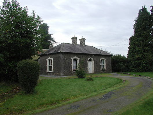 Farra Cottagehouse · 1140 yd
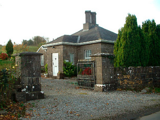 Rathbennett Housegate lodge · 1324 yd
 Ecclesiastical enclosure in LenyEcclesiastical enclosure · 1567 yd
 Crannog in Cullenhugh,lough IronCrannog · 1.1 mi
 Carrick CastleCastle · 1.2 mi
 CastleCastle, unclassified · 1.5 mi
 Baronstown ForestWood · 2.4 mi
 Horse-chestnutHorse-chestnut · 2.6 mi
 Bridge Memorial (Kenna)Memorial · 3.0 mi
 Carrickphilbin IslandIslet · 3.2 mi
 Srudarra IslandIslet · 3.9 mi
 Rock of CurryCliff · 10 mi
Other information
Photo: Credit not shown in the picture search · Rights wording not checked; contact us if this picture should be removed