
What is recorded here
'Killanhue' (Cullenhugh) Castle is depicted standing on a flat-topped mound or hillock in the N quadrant of the townland close to the E shoreline of Lough Iron on the 1655-9 Down Survey map of Leny parish (NLI, MS 723-4). The castle is depicted as standing in 'Killinhue' on the Down Survey map of Corkaree barony. Edmond Walsh is listed in 1641 as an 'Irish Papist' and owner of 248 acres of lands in Killanhue (ibid.). The terrier of the Down Survey parish map of Leny recorded that ‘there are in this parish six castles vizt. at Rathbennett (WM011-060----), Farrow (WM011-055----) Cullanhue Ballinafid (WM011-077----) each one & at Ballinilack two castles (WM006-048----/-049----)’ (ibid.).
The medieval castle is not depicted on any edition of the OS 6-inch maps. Cullenhue House was identified by the SMR as a potential site for the medieval castle and this area was visited in 1983. No evidence of any medieval stonework or any other evidence to suggest that the medieval castle was located at this house which dates from the post-1700 period. The castle is shown standing on top of a hillock or rise of ground close to the area where the Inny River enters Lough Iron. A flat topped hillock with steeply scarped sides is located in the area depicted on the Down Survey map. There are possible traces of a building consisting of a sunken area on the top of the hillock and possible bank running along edge of mound which may represent the wall footings of the levelled castle.
Compiled and revised by: Caimin O'Brien
Date of revised upload: 13 July 2017
A local castle; wider significance not recorded.
The monument record does not grant public access. Check the route and ask the landowner before entering private land.
- What survives
- Recorded monument
Places near here
 Crannog in Cullenhugh,lough IronCrannog · 830 yd
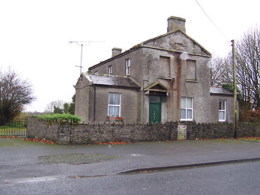 RIC barracksRIC barracks · 1385 yd
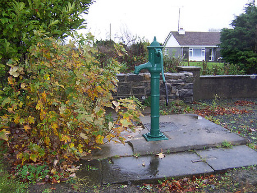 water pumpwater pump · 1391 yd
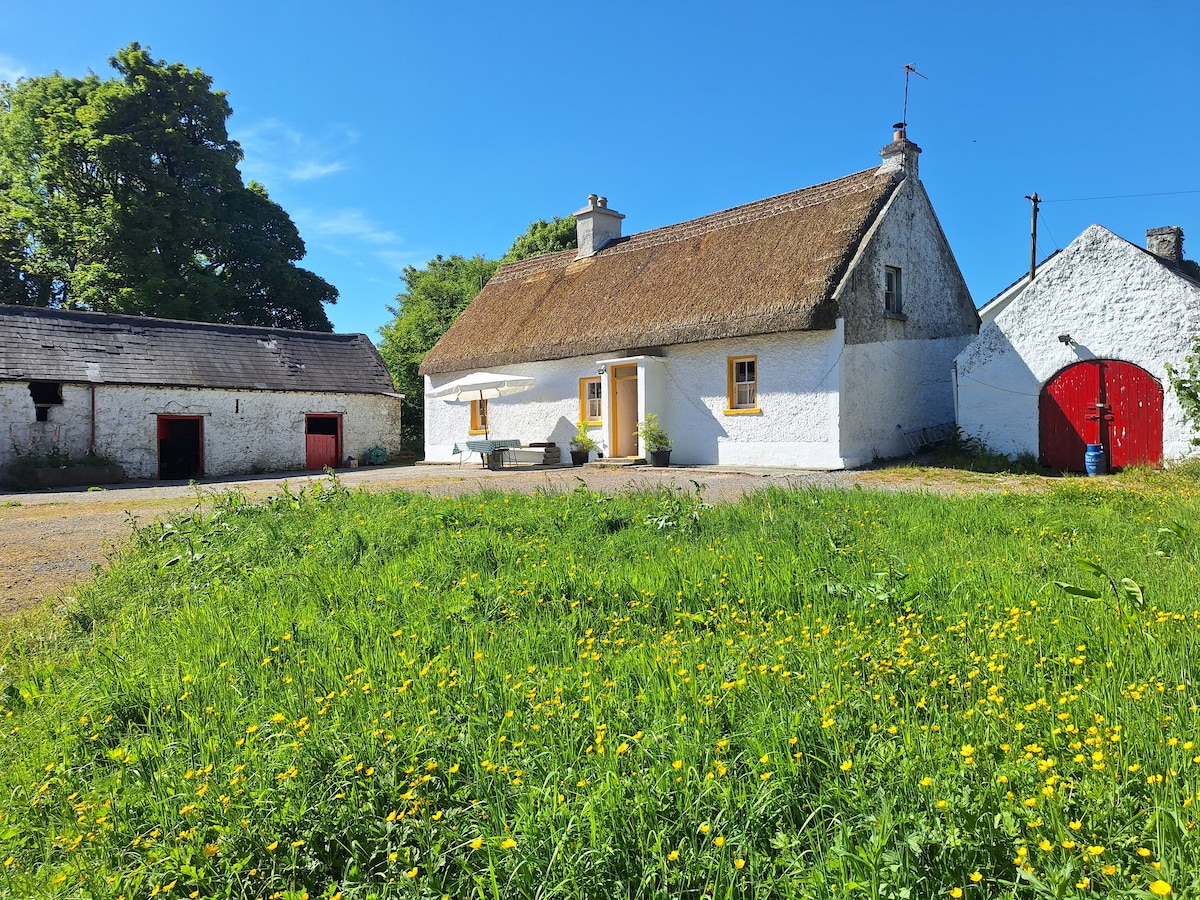 OutlinedCastle, unclassified · 1664 yd
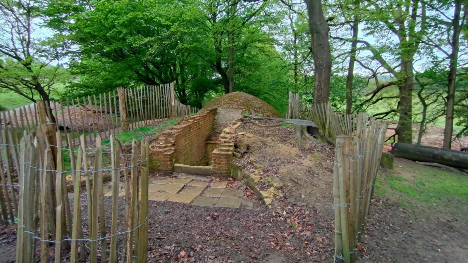 Icehouse in Baronstown DemesneIcehouse · 1.0 mi
 Carrick CastleCastle · 1.4 mi
 Baronstown ForestWood · 1.8 mi
 Horse-chestnutHorse-chestnut · 1.8 mi
 Rock of CurryCliff · 10.0 mi
 Mullaghmeen ForestPicnic place · 12 mi
 Mullaghmeen Red WalkWalking route · 12 mi
 Mullaghmeen White WalkWalking route · 12 mi
Other information
Photo: Credit not shown in the picture search · Rights wording not checked; contact us if this picture should be removed