What is recorded here
Situated on SSE face of a slight natural rise, surrounded by gently undulating grassland with good views from S-W. Ringfort (WM011-064---) 125m to SSE. Depicted on the 1837 ed. OS 6-inch map as a circular-shaped enclosure (approx. diam. 25m E-W). This site has been partially levelled. A slightly raised area enclosed by a prominent earthen bank. This bank is only visible from ESE-S-NW. Elsewhere the bank has been levelled. The interior has a slight slope from NNW-SSE. From SSW-W-WSW the perimeter formed part of a field boundary running NNW-SSE, and appears to have been steepened.
See attached profile of monument surveyed and drawn by the ASI.
Compiled by: Frank Coyne and Caimin O'Brien
Date of upload: 24 August 2017
A local fairy fort (ringfort/rath); wider significance not recorded.
The monument record does not grant public access. Check the route and ask the landowner before entering private land.
- What survives
- Recorded monument
Places near here
 Partially hachuredFairy fort / earthen ringfort · 168 yd
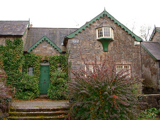 Wilson's Hospitalworker's house · 350 yd
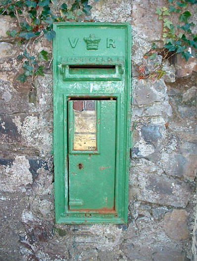 post boxpost box · 543 yd
 Ecclesiastical enclosure in LenyEcclesiastical enclosure · 969 yd
 Carrick CastleCastle · 1.2 mi
 CastleCastle, unclassified · 1.3 mi
 Bridge Memorial (Kenna)Memorial · 1.7 mi
 Carrickphilbin IslandIslet · 3.1 mi
 Srudarra IslandIslet · 3.6 mi
 Baronstown ForestWood · 3.8 mi
 Horse-chestnutHorse-chestnut · 3.9 mi
 Rock of CurryCliff · 9.3 mi
Other information
Photo: Credit not shown in the picture search · Rights wording not checked; contact us if this picture should be removed