What is recorded here
Surveyed in 2012 and described by McGuinness (2012, 28) as following: ‘Large, steep-sided, roughly circular mound (Diam. 21.5m N-S x 20.5m E-W) with well-defined edges at base and at junction between sides and upper surface. Upper surface of mound was apparently flat-topped originally (Diam. 12m N-S x 12.8m E-W) but…
Read the whole record
Surveyed in 2012 and described by McGuinness (2012, 28) as following: ‘Large, steep-sided, roughly circular mound (Diam. 21.5m N-S x 20.5m E-W) with well-defined edges at base and at junction between sides and upper surface. Upper surface of mound was apparently flat-topped originally (Diam. 12m N-S x 12.8m E-W) but centre has been hollowed out irregularly to a depth of up to 0.75m, possibly by people attempting to find a burial. Mound is composed of earth and stone, visible where animals have worn away parts of the edge. Surrounding the mound is a very broad, shallow, circular ditch, which varies from 11-13m in width and reaches up to 0.40m in depth below external ground level; mound rises up to 2.4m above ditch on NE side. A segment of ditch runs into adjacent field to NW; and, about 9.5m to SSE of mound, line of ditch joins onto, and may even swerve outwards to incorporate, a tiny lake or pool, which is not visible on all OSI aerial photographs and is therefore not always flooded. Given its breadth, the ditch might perhaps be better described as a circular area from which the material for the mound was scraped. Overall diameter of the monument including this ‘ditch’ is 47.5m NNE-SSW. Mound, capped by a trigonometrical station (147m OD), is located at N end of broad, flattish summit of hill which runs in a N-S direction. Also on summit are a platform-barrow (WM011-022----), only 31m to ESE, and a ring-barrow (WM011-026----), at opposite end of summit c. 250m to S. Ground falls away gradually to NE, but flattish summit of hill continues as a spur to NW, before dropping away sharply to W, NW and N. Frewin Hill (WM011-133----) would be visible to SSE but for trees. Barrow at Fulmort (WM011-160----) is prominent on ridge to NE. See attached profile of monument surveyed and drawn by the ASI.
From the National Monuments Service (Archaeological Survey of Ireland) record WM011-021
Places near here
Photo credits
- National Inventory of Architectural Heritage
- Mike Searle, Geograph · CC BY-SA 2.0
- Stephan van Helden, Wikimedia Commons · CC BY-SA 4.0
- Richard Webb, Geograph · CC BY-SA 2.0
- Miguel Angel Masegosa Martínez, Wikimedia Commons · CC BY 2.0
- Marathon, Wikimedia Commons · CC BY-SA 2.0
- Illustrator not named; The Dublin Penny Journal (1835), public scan from Internet Archive and JSTOR, Wikimedia Commons · Public domain
- Britishfinance, Wikimedia Commons · CC BY-SA 4.0
- Colin Park, Geograph · CC BY-SA 2.0
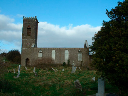 Bunbrosna Church (Leny)Church/chapel · 530 yd
 Ecclesiastical enclosure in LenyEcclesiastical enclosure · 556 yd
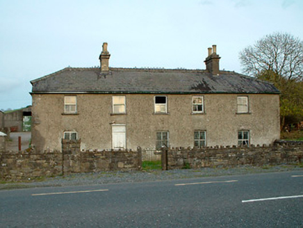 Leny CottageHouse · 587 yd
 Carrick CastleCastle · 970 yd
 Horse-chestnut3.4 mi
 CastleCastle, motte · 4.5 mi
 Sweet Chestnut5.3 mi
 Font in ForeFont · 9.6 mi
_(page_1_crop).jpg/250px-Fore_Abbey,_County_Westmeath,_1835_(IA_jstor-30004138)_(page_1_crop).jpg "Photo: Illustrator not named; The Dublin Penny Journal (1835), public scan from Internet Archive and JSTOR, Wikimedia Commons · Public domain") Fore AbbeyHeritage attraction · 9.7 mi
Fore AbbeyHeritage attraction · 9.7 mi Mullaghmeen ForestPicnic place · 11 mi
 Mullaghmeen Red WalkWalking route · 12 mi
 Mullaghmeen White WalkWalking route · 12 mi
More archaeology and monuments in County Westmeath · All of County Westmeath
What do you know about this place?Tap to add a comment or ask a question