What is recorded here
Situated on a natural terrace in grassland on SW facing slope of rising ground with good views to NW & SE. Earthwork (WM011-058----) 130m to SSW. A sub-circular shaped area (approx. diam. 32m N-S; 30m E-W) enclosed by a poorly preserved earthen bank and shallow external fosse visible at S & W with possible entrance gap (Wth 1.9m) at S. A post 1700 field fence running NE-SW intersects the site at SE, and a roadway intersects the perimeter from NW-N-NE.
Compiled by: Frank Coyne and Caimin O'Brien
Date of upload: 16 June 2017
The monument record does not grant public access. Check the route and ask the landowner before entering private land.
- What survives
- Recorded monument
Places near here
 Partially hachuredFairy fort / earthen ringfort · 323 yd
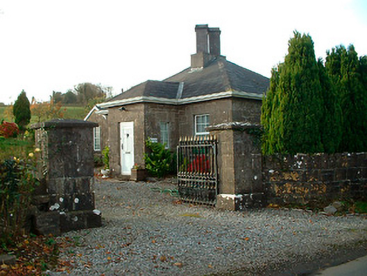 Rathbennett Housegate lodge · 358 yd
 Ecclesiastical enclosure in LenyEcclesiastical enclosure · 621 yd
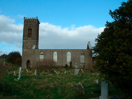 Bunbrosna Church (Leny)church/chapel · 644 yd
 Castle Quarter, Castle (in ruins)Castle, unclassified · 1678 yd
 Carrick CastleCastle · 1.2 mi
 Bridge Memorial (Kenna)Memorial · 2.1 mi
 Carrickphilbin IslandIslet · 2.9 mi
 Baronstown ForestWood · 3.4 mi
 Horse-chestnutHorse-chestnut · 3.5 mi
 Srudarra IslandIslet · 3.5 mi
 WestmeathVisitor information · 5.2 mi