What is recorded here
Situated on a slight E-facing slope in a low-lying landscape, with a SE-NW section of the River Skane c. 100m to the NE. This feature is most clearly visible on Apple Maps but can also be seen on Google Earth (24/03/2012; 07/05/2017; 14/05/2020) and OSI aerial images. A small circular grass-covered mound (diam. c. 5m) is separated by a fosse from an outer bank (ext. diam. c. 15m). There is a tree on the bank at SW, and the monument was first reported by Jean Charles Caillére.
See the attached enhanced view from Apple Maps
Compiled by: Michael Moore
Date of upload; 11 October 2021
A Neolithic ring-barrow; wider significance not recorded.
The monument record does not grant public access. Check the route and ask the landowner before entering private land.
- What survives
- Recorded monument
Places near here
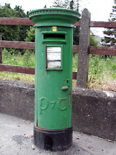 post boxpost box · 853 yd
 Font in KnockmarkFont · 909 yd
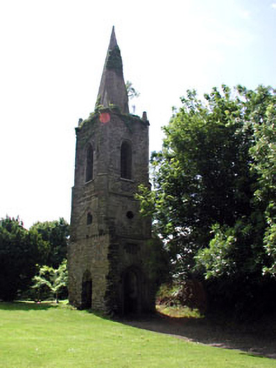 Knockmark Churchchurch/chapel · 920 yd
 Ribstown fortFairy fort / earthen ringfort · 1696 yd
 Killeen CastleCastle, tower house · 1.5 mi
 Dunsany CastleCastle, unclassified · 2.1 mi
 Dunsany WoodWood · 2.2 mi
 Laurel WoodsWood · 2.2 mi
 Lismahon 1798 MemorialMonument · 3.9 mi
 Battle of Tara Hillbattle · 4.5 mi
 Battle of Tara (Ireland)Major battlefield · 4.5 mi
 MullaghMountain / peak · 4.5 mi