What is recorded here
Depicted on 1842, 1905 and 1937 OS 6-inch maps as hachured circular enclosure (diam. c. 19m). According to Bowman (1934, 149), 'single-ramparted, c. 31/2ft high. Diam. 19 yards' with 'fosse, now practically filled in...inside the rampart'. Permission to inspect site refused.
The above description is derived from the published 'Archaeological Inventory of County Cork. Volume 4: North Cork' (Dublin: Stationery Office, 2000). In certain instances the entries have been revised and updated in the light of recent research.
Date of upload/revision: 14 January 2009
A Neolithic ring-barrow; significant as a rare surviving circular burial monument with associated fosse, indicating early communal burial practices.
The monument record does not grant public access. Check the route and ask the landowner before entering private land.
- What survives
- Recorded monument
Places near here
 Fulacht fia in Glanycummane UpperFulacht fia · 739 yd
 Burial ground in KilknockaneBurial ground · 1.4 mi
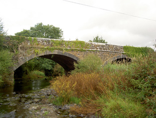 Raheen Bridgebridge · 1.4 mi
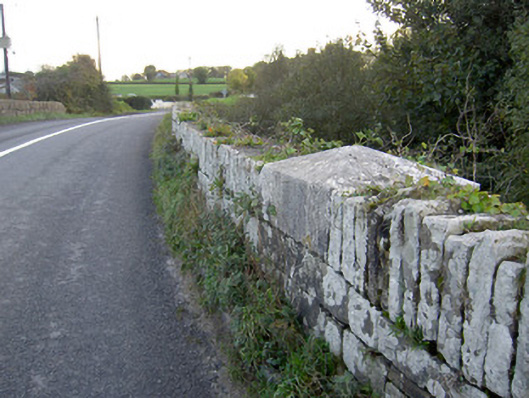 Allow Bridgebridge · 1.5 mi
 Carrig Castle (Site of)Castle, unclassified · 2.6 mi
 Stanner's Glen, Priory WoodWood · 3.3 mi
 Castle LisheenCastle · 4.3 mi
 National Co-op MuseumMuseum · 5.0 mi
 Mullaghareirk - Banane LoopWalking route · 6.1 mi
 KnockacummerMountain / peak · 7.0 mi
 Kanturk CastleHeritage attraction · 7.2 mi
 Burial ground in AssolasBurial ground · 7.4 mi