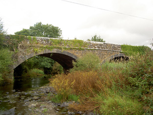
What is recorded here
Double-arch limestone road bridge over River Allow, built c. 1820. Arch to east now disused. Coursed dressed limestone construction with cut limestone coping to parapet walls, tooled cut limestone voussoirs to segmental-headed arches having projecting cut limestone keystones. Cut limestone string course after arch level, and cut limestone V-cutwaters with cut limestone coping to north and south elevations. Weir visible to north, and mill race to south-east serving Coolbane Mill..
This elegant road bridge exhibits a finely executed limestone finish. This bridge accommodated a mill race for nearby Coolbane Mill. It survives intact and in its original form, serves as an important reminder of the local industrial heritage of the area and the quality of local craftsmanship in the early nineteenth century.
This does not grant access. Most recorded buildings are privately owned; view them only from public ground unless the owner allows entry.
Places near here
 IndicatedEnclosure · 463 yd
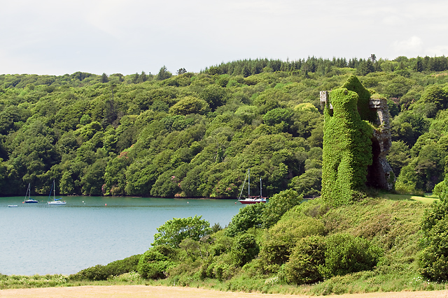 Enclosure in Raheen (duhallow By.)Enclosure · 748 yd
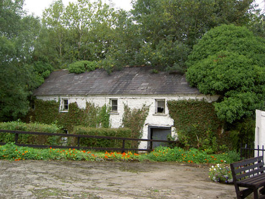 Coolbane Millmill (water) · 1486 yd
 KilnKiln, lime · 1.6 mi
 Castle LisheenCastle · 3.2 mi
 National Co-op MuseumMuseum · 3.6 mi
 Carrig Castle (Site of)Castle, unclassified · 3.7 mi
 Stanner's Glen, Priory WoodWood · 4.5 mi
 ToberacappeenSpring · 4.9 mi
 Mullaghareirk - Banane LoopWalking route · 5.3 mi
 KnockacummerMountain / peak · 7.0 mi
 Rock HillMountain / peak · 8.1 mi
Other information
Photo: National Inventory of Architectural Heritage · Website use allowed for educational or private purposes with source credit