
What is recorded here
Carrig Castle belonged to the MacAuliffes and rose as a square building about thirty-three feet on each side, overlooking the Owenanare River. Quarrying has since bitten into the site, leaving only faint grass-covered foundations and a scarred edge where demolished stones tumbled into the valley. The pasture still holds the shape of that lost room, waiting for someone to imagine the lives that filled it before the earth took them back.
In pasture, near foot of E-facing slope, overlooking Owenanare River. Quarrying on NE side has removed part of site; faint traces of grass-covered wall foundations visible; stones from demolition of castle dumped over edge of nearby scarp. Described by Bowman (1934, 139) as 'a square building, each side being about 33 feet'. Castle of the MacAuliffes (Ó Murchadha 1985, 9-10).
The above description is derived from the published 'Archaeological Inventory of County Cork. Volume 4: North Cork' (Dublin: Stationery Office, 2000). In certain instances the entries have been revised and updated in the light of recent research.
Date of upload/revision: 14 January 2009
The monument record does not grant public access. Check the route and ask the landowner before entering private land.
- What survives
- Recorded monument
Places near here
 Barleyhill Bridgebridge · 1143 yd
 KilnKiln, lime · 1440 yd
 Stanner's Glen, Priory WoodWood · 1.0 mi
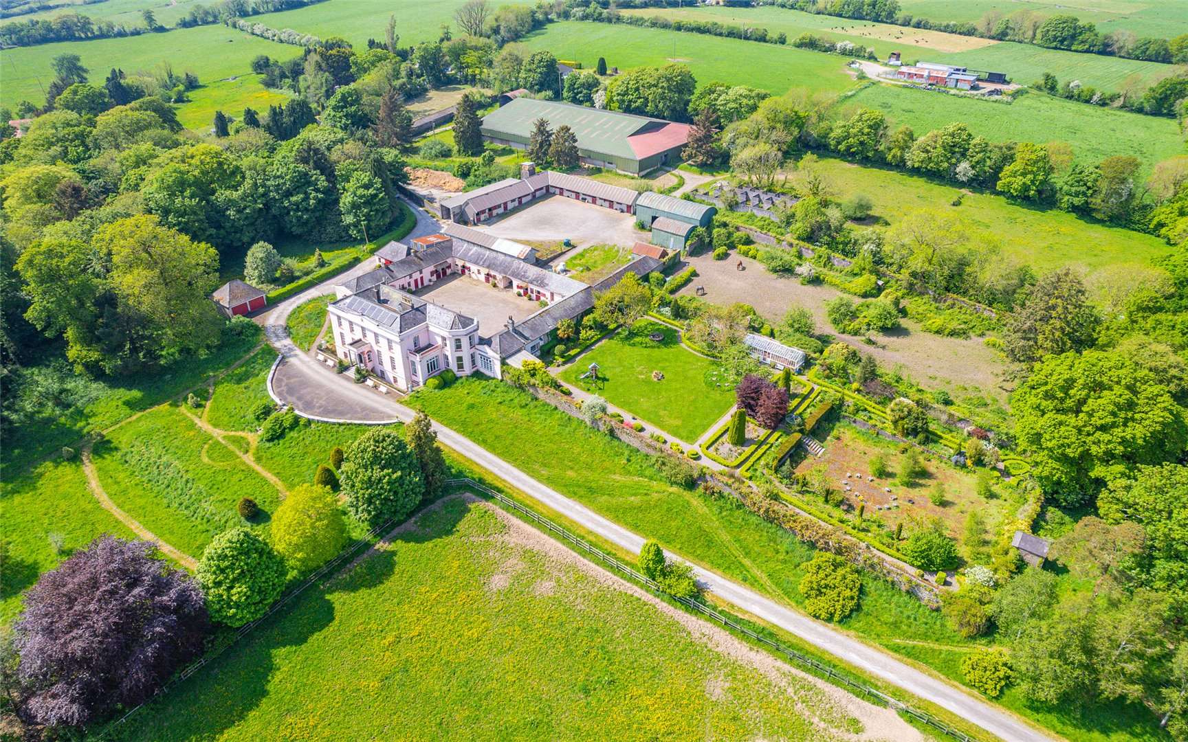 Man-made underground passage in GooseberryhillMan-made underground passage · 1.1 mi
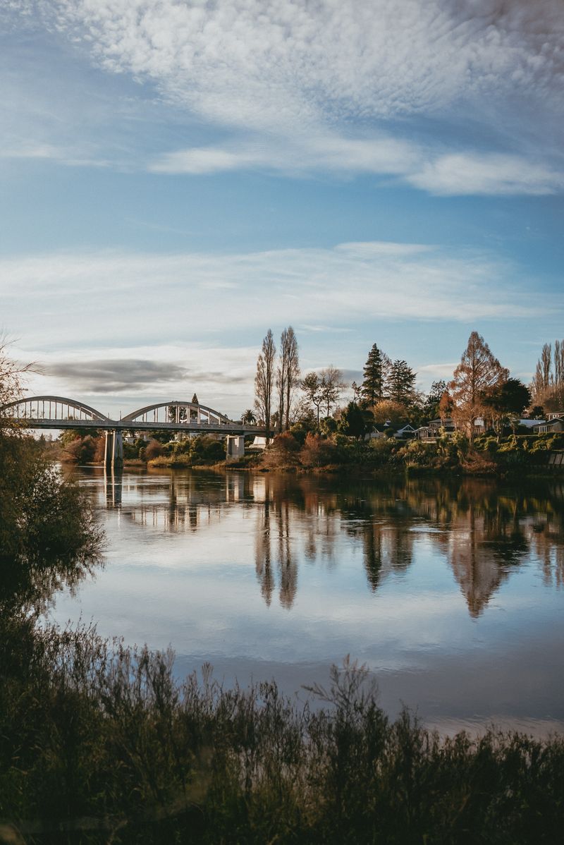 Fulachta FiadhFulacht fia · 1.7 mi
 CastleCastle, unclassified · 2.4 mi
 Castle McAuliffe (Site of)Castle, unclassified · 3.7 mi
 Hanna SheehyMemorial · 4.8 mi
 KnockacummerMountain / peak · 5.7 mi
 Kanturk CastleHeritage attraction · 5.8 mi
 Mullaghareirk - Banane LoopWalking route · 6.2 mi
 Burial ground in AssolasBurial ground · 6.8 mi
Other information
Photo: Credit not shown in the picture search · Rights wording not checked; contact us if this picture should be removed