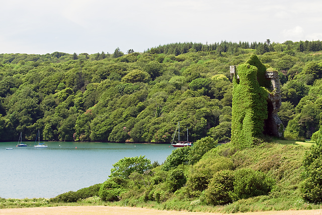
What is recorded here
In rough pasture, on gentle S-facing slope, c. 70m N of River Allow. Depicted as hachured triangular enclosure (c. 30m N-S x c. 30m x c. 30m) on 1842 OS 6-inch map. Levelled; natural scarp facing S may mark S side of enclosure. Recorded by Bowman (1934, 712) as '...fort...in Denis O'Shaughnessy's land...now levelled, and appears to have been triangular...'.
The above description is derived from the published 'Archaeological Inventory of County Cork. Volume 4: North Cork' (Dublin: Stationery Office, 2000). In certain instances the entries have been revised and updated in the light of recent research.
Date of upload/revision: 14 January 2009
The monument record does not grant public access. Check the route and ask the landowner before entering private land.
- What survives
- Recorded monument
Places near here
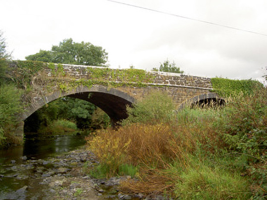 Raheen Bridgebridge · 748 yd
 IndicatedEnclosure · 825 yd
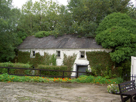 Coolbane Millmill (water) · 828 yd
 Fulacht FiadhFulacht fia · 1527 yd
 Castle LisheenCastle · 2.9 mi
 National Co-op MuseumMuseum · 3.4 mi
 Carrig Castle (Site of)Castle, unclassified · 4.0 mi
 ToberacappeenSpring · 4.6 mi
 Stanner's Glen, Priory WoodWood · 4.8 mi
 Battle of LiscarrollMajor battlefield · 5.4 mi
 Mullaghareirk - Banane LoopWalking route · 5.6 mi
 KnockacummerMountain / peak · 7.4 mi
Other information
Photo: Credit not shown in the picture search · Rights wording not checked; contact us if this picture should be removed