
What is recorded here
At the edge of a plantation of coniferous trees, c. 25m to the SSW of a rath (LF019-068001-). A low circular mound of earth and stone (diam. at base 6.4m; max. H 0.8m) enclosed by a low bank of earth and stone (Wth 3.2m; H 0.3m) with a wide, shallow internal fosse (Wth 2.2m; D 0.25m). There are causeways across the fosse at NNE, E and SE.
Compiled by: Patrick F. O'Donovan
Date of upload: 14 November 2011
Ring-barrow, likely dating to the Early Bronze Age. Its association with a nearby rath suggests a possible ritual or funerary landscape of significance in the local prehistoric settlement pattern.
The monument record does not grant public access. Check the route and ask the landowner before entering private land.
- What survives
- Recorded monument
Places near here
 Font in DrumingFont · 401 yd
 IndicatedFairy fort / earthen ringfort · 763 yd
 Druming Ho. (in ruins)Castle, unclassified · 881 yd
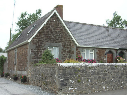 worker's houseworker's house · 1590 yd
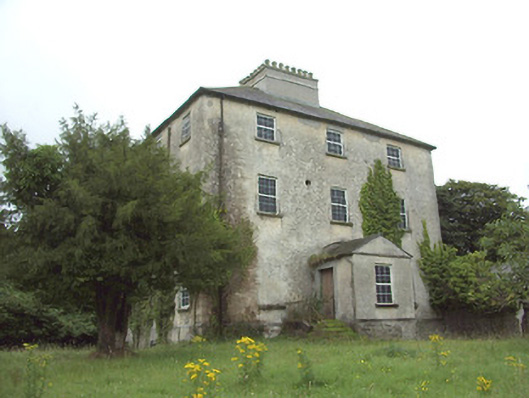 The Rectoryrectory/glebe/vicarage/curate's house · 1624 yd
 Ardagh DemesneFort · 1.5 mi
 National Famine WayWalking route · 1.9 mi
 Graveyard in Curry (ardagh By., Coolamber Ed)Graveyard · 4.8 mi
 First World War MemorialMemorial · 5.6 mi
 Saint Mel's CathedralCathedral · 5.6 mi
 Leveret IslandIslet · 11 mi
 Granard MotteMotte-and-bailey castle remains · 12 mi
Other information
Photo: Credit not shown in the picture search · Rights wording not checked; contact us if this picture should be removed