
What is recorded here
In pasture, c. 20m to WNW of possible standing stones (CO060-106002-). Circular area (diam. 8m) enclosed by shallow fosse (D 0.1m; Wth 1m) with external earthen bank (H 0.2m). According to local information, 'used as children's burial ground within living memory' (Hartnett 1939, 53).
The above description is derived from the published 'Archaeological Inventory of County Cork. Volume 3: Mid Cork' (Dublin: Stationery Office, 1997). In certain instances the entries have been revised and updated in the light of recent research.
Date of upload/revision: 14 January 2009
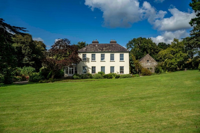
Image provided by and copyright of Amanda Clarke 2016-2022 https://holywellscorkandkerry.com/
Ring-barrow, likely dating to the Early Bronze Age. This type of monument typically marks a burial and reflects early communal burial practices in the region.
The monument record does not grant public access. Check the route and ask the landowner before entering private land.
- What survives
- Recorded monument
Places near here
 CaveMan-made underground passage · 919 yd
 Man-made underground passageMan-made underground passage · 975 yd
 Morriss BrBridge · 1213 yd
 Hanover Hall Bridgebridge · 1257 yd
 Clonavrick CliffCliff · 1.4 mi
 Black WoodWood · 1.5 mi
 BurrenMountain / peak · 1.7 mi
 Ummera WoodWood · 2.0 mi
 Battle of Macroombattle · 2.6 mi
 Macroom WalksVisitor information · 2.7 mi
 Macroom Castle (in Ruins)Castle, tower house · 2.7 mi
 Mashanaglass Castle (in Ruins)Castle, tower house · 3.5 mi
Other information
Photo: Credit not shown in the picture search · Rights wording not checked; contact us if this picture should be removed