What is recorded here
In level area of gently undulating pasture, at base of WNW-facing slope. Circular area (11m N-S; 9.5m E-W) defined by scarped edge (Wth 3m; H 0.3m) awith external fosse (basal Wth 2m; overall Wth 10.45m; Dth 0.55m). Fosse in-filled at SW and SSE where former field boundary (long-axis WNW-ESE) was located; boundary now replaced by electric fence. Interior generally level and is incorporated into rest of field.
Compiled by: Denis Power
Date of upload: 31 October 2013
Neolithic ring-barrow, c. 3000–2500 BCE. This type of monument is significant as an early funerary structure, often associated with communal burial and ritual practices in prehistoric Ireland.
The monument record does not grant public access. Check the route and ask the landowner before entering private land.
- What survives
- Recorded monument
Places near here
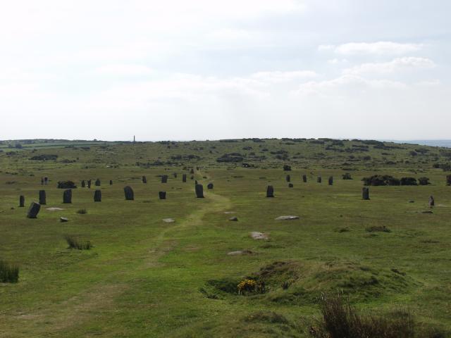 BarrowBarrow, ring-barrow · 66 yd
 Enclosure in Ballybricken WestEnclosure · 361 yd
 RoadRoad, road/trackway · 662 yd
 CastleCastle, unclassified · 811 yd
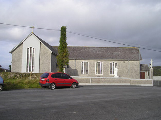 Saint Ailbe's Catholic Churchchurch/chapel · 1089 yd
 Ballybricken Court (in ruins)Castle, tower house · 1513 yd
 St Lawrence's WellSpring · 1.0 mi
 Wych ElmWych Elm · 1.2 mi
 Banoge's WellSpring · 2.4 mi
 Graveyard in AbingtonGraveyard · 5.4 mi
 Kilteely HillMountain / peak · 6.0 mi
 KnockseefinMountain / peak · 6.3 mi