
What is recorded here
Internal diam. 24m. A circular area formerly enclosed by a stone wall 2m wide comprised of two lines of large stones filled in with smaller stones. The NW half of the wall survives in a collapsed state up to .5m in height. The other half has been removed, but can be traced still. The site is overgrown but is apparently even, sloping gently N to S. It is situated on a spur of rough, wooded land sloping steeply N, E and W and gently to the S.
The above description was derived from the 'Archaeological Survey of County Donegal. A description of the field antiquities of the County from the Mesolithic Period to the 17th century.' Compiled by: Brian Lacey with Eamon Cody, Claire Cotter, Judy Cuppage, Noel Dunne, Vincent Hurley, Celie O'Rahilly, Paul Walsh and Seán Ó Nualláin (Lifford: Donegal County Council, 1983). In certain instances the entries have been revised and updated.
Date of upload: 22 September 2008
Ballyarr Stone Ringfort is a circular early-medieval defensive structure, likely dating to between the 5th and 10th centuries AD, characterized by a stone wall with an internal diameter of 24 meters. While specific folklore is not recorded, like many such sites in Ireland, it may have later been associated with local fairy traditions or ghostly legends.
The official description records surviving remains. Its missing or destroyed wording refers only to one part of this place or to a different nearby feature. The monument record does not grant public access. Check the route and ask the landowner before entering private land.
- What survives
- Visible or partial remains survive
Places near here
 Ballyarr Nature ReserveNational nature reserve · 147 yd
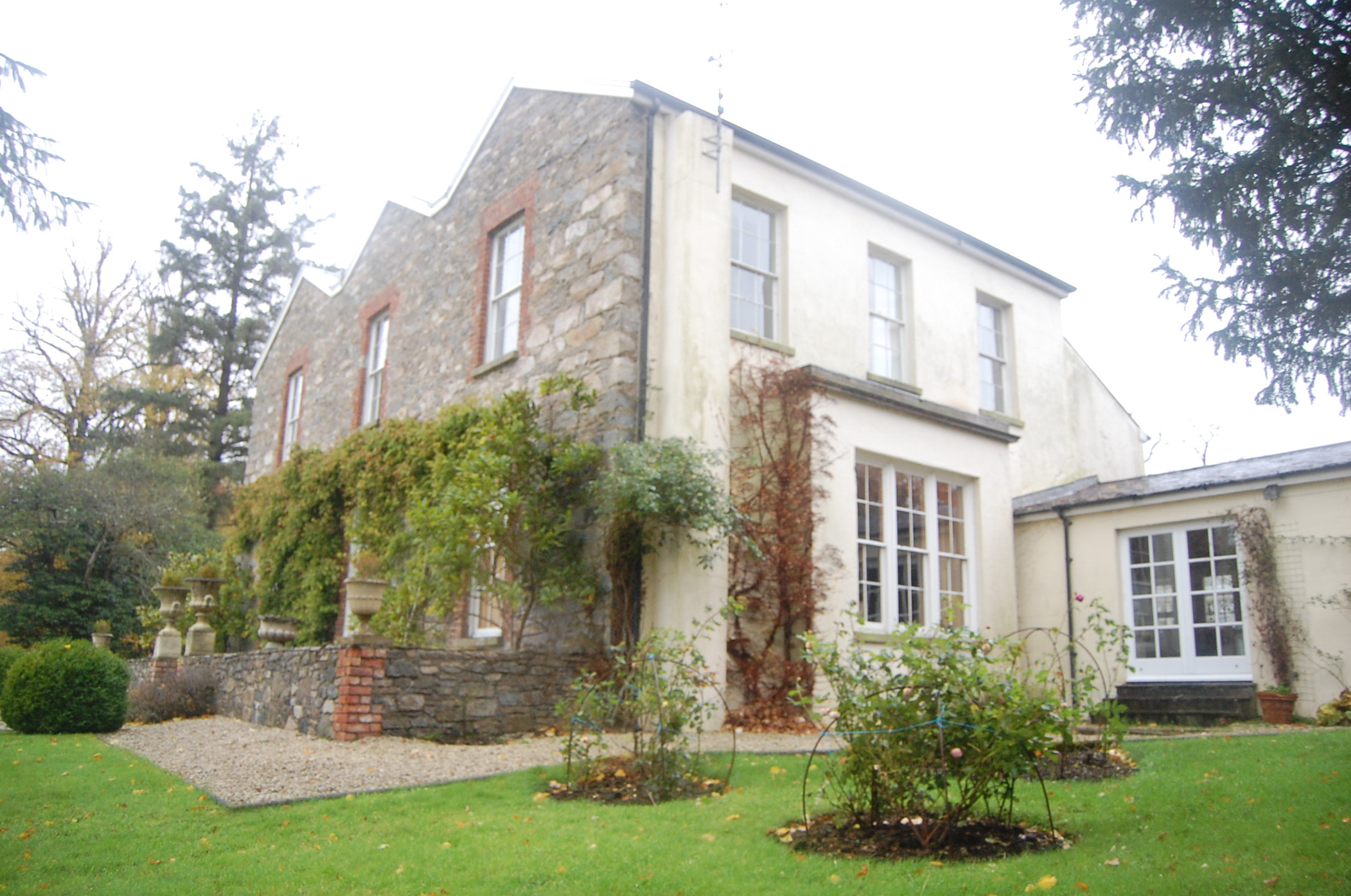 Ballyarr Househouse · 1388 yd
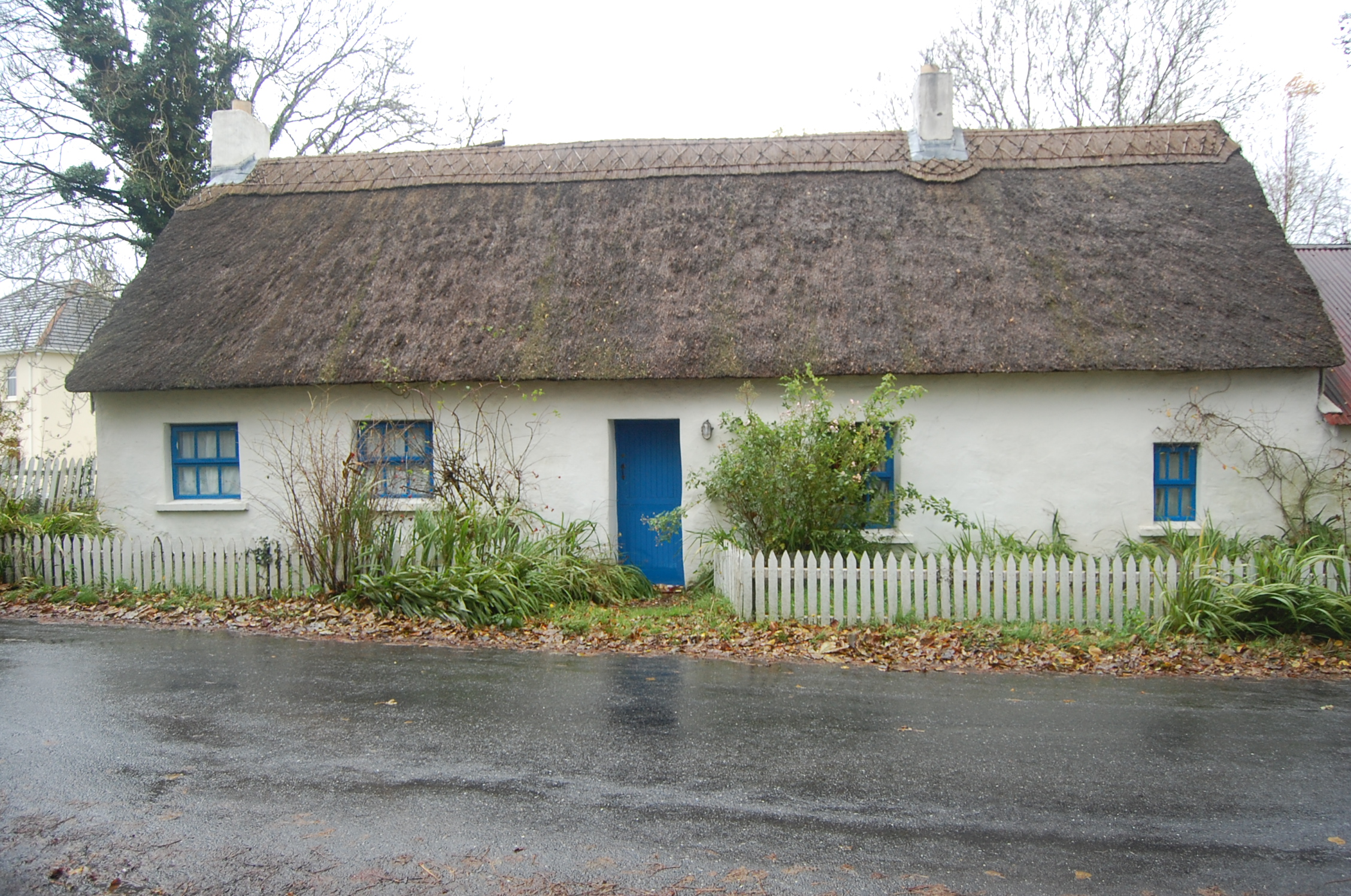 Milestone Cottagehouse · 1422 yd
 Gortnavern Double Stone RingfortFairy fort / stone ringfort · 1.1 mi
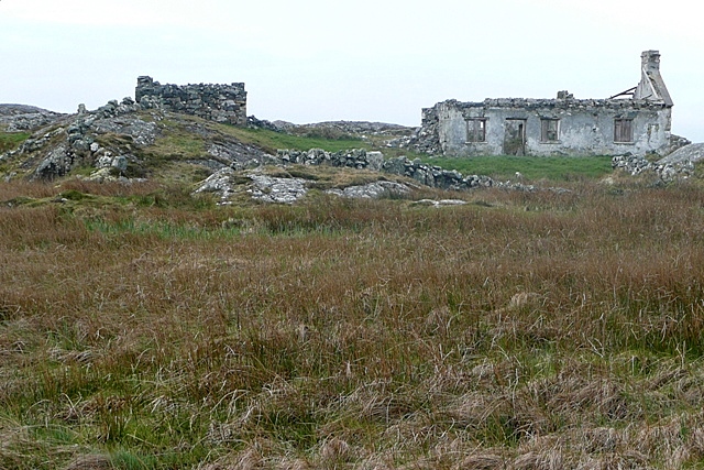 Former Leitir Fairy Fort near Letter ChurchFairy fort / earthen ringfort · 1.5 mi
 Drummonaghan WoodForest recreation place · 2.0 mi
 Castle (Site of)Castle, unclassified · 2.4 mi
 Tullyaughnish Old Church GraveyardGraveyard · 2.7 mi
 Bawn in RathmeltonBawn · 2.8 mi
 Loughsalt MountainMountain / peak · 5.1 mi
 Gregory HillMountain / peak · 6.4 mi
 Stackarnagh Abbey GraveyardGraveyard · 7.2 mi
Other information
Photo: Credit not shown in the picture search · Rights wording not checked; contact us if this picture should be removed