
What is recorded here
From the National Monuments Service (Archaeological Survey of Ireland) record DG045-022
Places near here
Photo credits
- Richard Webb, Geograph · CC BY-SA 2.0
- Heikki.vesanto, Wikimedia Commons · CC BY-SA 4.0
- National Inventory of Architectural Heritage
- Maker not stated on source page, archaeology-world.com
- Kenneth Allen, Wikimedia Commons · CC BY-SA 2.0
- Maker not stated on source page, www.alamy.com
- Maker not stated on source page, tr.pinterest.com
- Picture: Donegal Day Out
 Carrs Of The DiamondPub · 710 yd
Explorer Tom Carrs Of The Diamond sounds like a pub built on a rock that might roll away at any moment. Sit on the edge and enjoy…
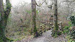 Ballyarr Nature ReserveNational nature reserve · 827 yd
Explorer Tom Ballyarr Wood has the lovely confidence of a place that does not need a castle, a cliff or a gift shop to make you…
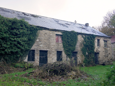 Claragh HouseFarmyard complex · 1100 yd
Explorer Tom Claragh House has a roundel opening on the first floor with a red brick surround. What is that little circle for? Was…
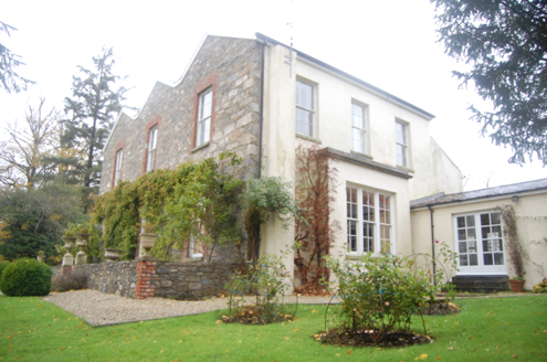 Ballyarr HouseHouse · 1188 yd
Explorer Tom Ballyarr House has a triple gable-fronted facade which is unusual and slightly pretentious, owned by a Marquis who had…
 Mullagheep Bronze Age CistCist · 1360 yd
Explorer Tom Mullagheep Bronze Age Cist is a neat little slab box, roughly a metre long, that held a cremation and a vase…
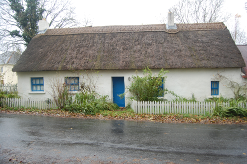 Milestone CottageHouse · 1463 yd
Explorer Tom Milestone Cottage in Ballyarr Glebe wears a wavy, scalloped thatch on its head from around 2005. It looks like the…
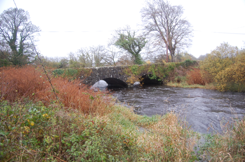 Tully BridgeBridge · 1606 yd
Explorer Tom Tully Bridge is currently being courted by a very persistent cow who keeps trying to buy it with shiny buttons and a…
 Meenatole National SchoolSchool · 1.0 mi
Explorer Tom Meenatole National School dates to 1897, as its sandstone plaque says. Behind it, a wall once separated the girls’ and…
 Bullaun stone in Ráith (tc Baile Áir)Bullaun stone · 1.4 mi
Explorer Tom Bullaun stone in Ráith is a rock that got poked so many times it’s starting to look like a cheese! I bet it was used…
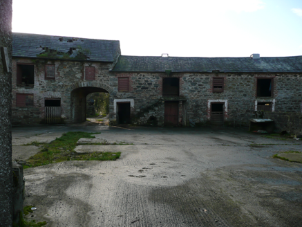 farmyard complex1.4 mi
Explorer Tom Farmyard complex in Carnisk is proudly displaying its unofficial world record for the most attractive rubble stone…
 Cill an Leabhair GraveyardGraveyard · 1.5 mi
Explorer Tom Cill an Leabhair Graveyard sits on a rocky wooded slope where the only thing left to read is the soil. It’s called…
 Drummonaghan WoodForest recreation place · 1.7 mi
Explorer Tom Drummonaghan Wood is only about a kilometre from Ramelton, yet its trees make the busy old town feel a thoughtful…
More archaeology and monuments in County Donegal · All of County Donegal

What do you know about this place?Tap to add a comment or ask a question