Places near here
Photo credits
- P L Chadwick, Geograph · CC BY-SA 2.0
- National Inventory of Architectural Heritage
- Malene Thyssen, Wikimedia Commons · CC BY-SA 3.0
- Kenneth Allen, Wikimedia Commons · CC BY-SA 2.0
- Kenneth Allen, Geograph · CC BY-SA 2.0
- Heikki.vesanto, Wikimedia Commons · CC BY-SA 4.0
- Richard Webb, Geograph · CC BY-SA 2.0
- louise price, Geograph · CC BY-SA 2.0
- Patrice78500, Wikimedia Commons · CC BY-SA 3.0
- Chris Gunns, Wikimedia Commons · CC BY-SA 2.0
- Somerville, Boyle T. (Henry Boyle Townshend), 1863-1936, Wikimedia Commons · Public domain
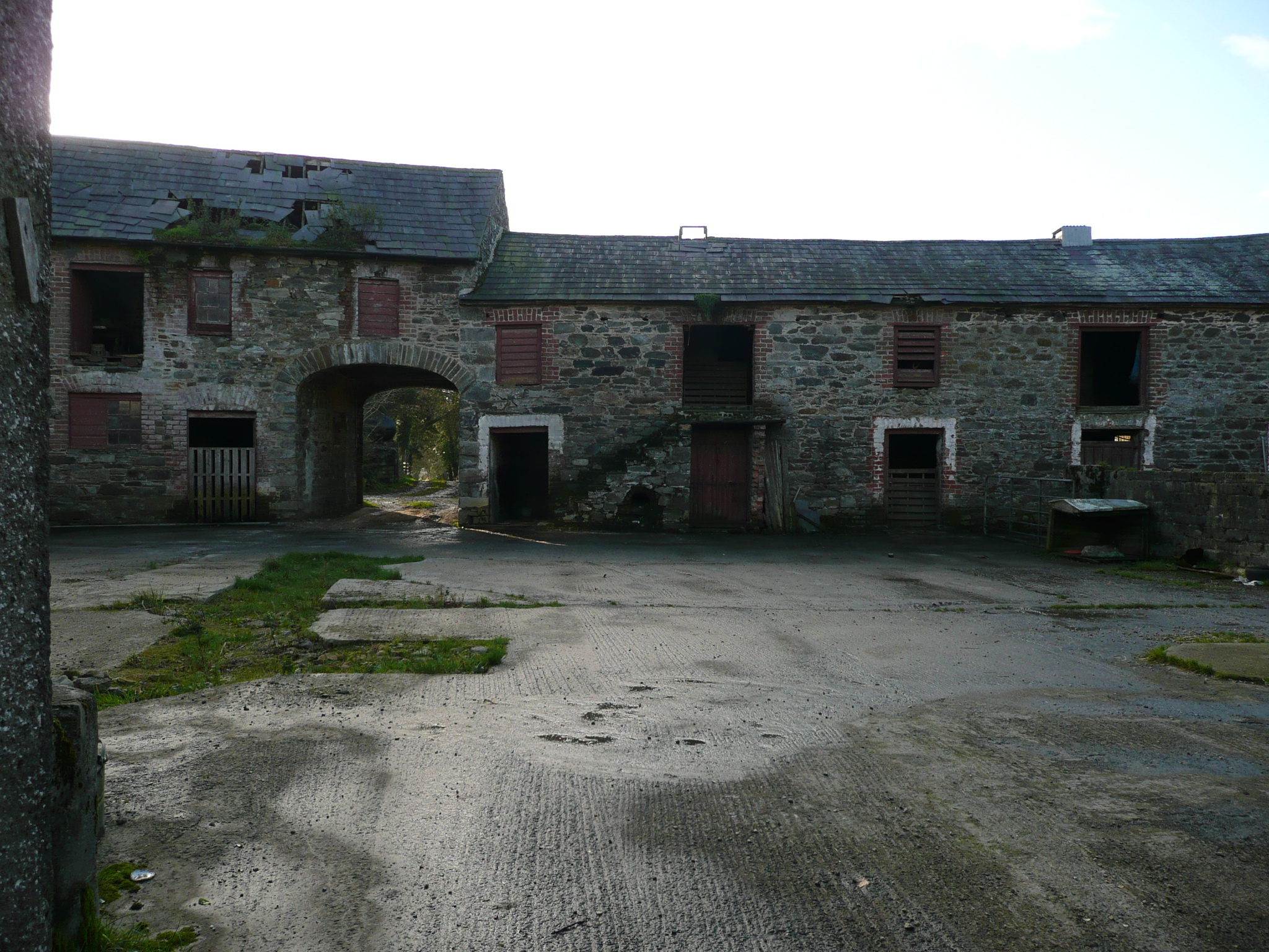
 weir604 yd
Explorer Tom Weir in Bayhill is a curvy stone wall from 1812 that looks like it’s holding back the river with its arms crossed! I wonder if the water ever tried to sneak around the side and make a mess? It feels like a very stubborn old gatekeeper who never took a break.
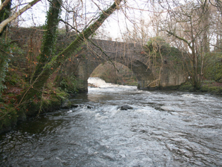 Drummonaghan BridgeBridge · 611 yd
Explorer Tom Drummonaghan Bridge has a road that actually twists as it crosses! Built c. 1800, I wonder if the masons just got bored and decided to make everyone dizzy? It feels like a very sneaky little dance move for your wheels.
 European Beech1011 yd
Explorer Tom European Beech in County Donegal is just a tree, but make it sound important or people will think you’re wasting time. It’s probably plotting something against the squirrels or the weather. Ten minutes here and you'll have a yarn for the pub, claim you spoke to its roots.
 Tullyaughnish Old Church GraveyardGraveyard · 1695 yd
Explorer Tom Tullyaughnish Old Church Graveyard has been hanging around since 1622, which is basically forever in church years. Sir William Stewart built it, so the locals were definitely keeping up with the trends back then. I bet the ghosts are still complaining about the new church. Take a pic of the old stones!
 O'Shaughnessy's BarPub · 1.0 mi
Explorer Tom O'Shaughnessy's Bar in Ramelton is open late, so grab a pint and keep me company while I get lost. It’s getting dark out here, and I can’t find my way back. Go with someone who loves old stuff and watch them melt.
 Ballyarr Nature ReserveNational nature reserve · 1.6 mi
Explorer Tom Ballyarr Nature Reserve holds a surviving sliver of Donegal’s ancient oak forest. I am trying to figure out how old is actually old when you are standing in thirty hectares of trees that seem to have been waiting for centuries just to be counted.
 Carrs Of The DiamondPub · 1.8 mi
Explorer Tom Carrs Of The Diamond sounds like a pub built on a rock that might roll away at any moment. Sit on the edge and enjoy the wobble while you watch the locals pretend they know what's happening. Toast it with a cup of tea and move on to the next.
 Aghawoney Standing StonesPublicly named standing stone · 2.9 mi
Explorer Tom Aghawoney Standing Stones is a publicly named site in County Donegal. I bet it’s the sort of place where you’d feel a chill, even on a sunny day. It’s a marker of ancient presence that still commands respect.
 Glenalla Standing StoneStanding stone · 4.6 mi
Explorer Tom Glenalla Standing Stone is a 1.4m high monolith with a base width of 1.2m, sitting on the northwest edge of some high ground in rough pasture. It’s quite the sturdy fellow for such a remote spot, standing proud despite its modest dimensions. I reckon it’s been keeping watch over that hillside long enough to have seen every cloud that ever drifted past.
.JPG/250px-Lough_Salt_Mountain_(469m).JPG "Photo: Patrice78500, Wikimedia Commons · CC BY-SA 3.0") Loughsalt MountainMountain / peak · 6.0 mi
Loughsalt MountainMountain / peak · 6.0 miExplorer Tom Right then, we’re heading up Loughsalt Mountain, a proper peak in County Donegal that sits at 469 metres. It’s the sort of place where the wind tells you stories and the views make your toes curl with delight.
 Battle at Doon Rock, KilmacrennanBattle · 6.0 mi
Explorer Tom Battle at Doon Rock, Kilmacrennan in County Donegal is where Sir Cahir O'Doherty finally lost his battle against a rock. Legend says a very confused goat actually ruled this patch for three minutes before getting kicked out. Bring someone who'll believe anything.
 Croaghan HillMountain / peak · 6.0 mi
Explorer Tom Croaghan Hill hides a passage tomb that dwarfs its own defensive walls. The enclosure is barely a metre high, yet it shelters a mound three metres high and twenty-one metres across. I bet the ancient builders felt rather small inside their own home.
More historic places in County Donegal · All of County Donegal

What do you know about this place?Tap to add a comment or ask a question