
What is recorded here
A standing stone 1.4m high × 1.2m wide at base × 0.66m wide on W edge and 0.42m wide on E edge; E-W. Situated on rough pasture land on the NW edge of an extent of high ground. The above description was derived from the 'Archaeological Survey of County Donegal. A description of the field antiquities of the County from the Mesolithic Period to the 17th century.' Compiled by: Brian Lacey with Eamon Cody, Claire Cotter, Judy Cuppage, Noel Dunne, Vincent Hurley, Celie O'Rahilly, Paul Walsh and Seán Ó Nualláin (Lifford: Donegal County Council, 1983).
From the National Monuments Service (Archaeological Survey of Ireland) record DG037-004
The monument record does not grant public access. Check the route and ask the landowner before entering private land.
- What survives
- Recorded monument
Places near here
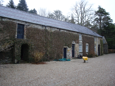 Glenalla HouseFarmyard complex · 221 yd
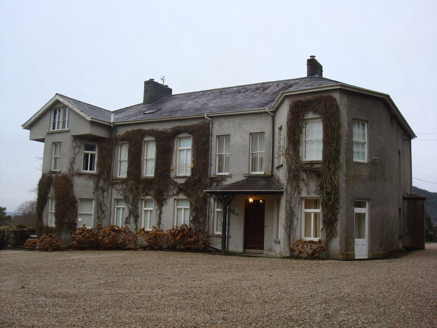 Glenalla HouseCountry house · 232 yd
 Croaghan HillMountain / peak · 1.6 mi
 Druid's AltarMegalithic structure · 1.8 mi
 Wych Elm2.0 miWych Elm2.0 mi
 Crevary Upper Court TombCourt tomb · 2.0 mi
 Rathmullan FortFort · 3.3 mi
 RathmullanOfficial bathing water · 3.4 mi
 Rough IslandIslet · 3.5 mi
 Inch FortCastle · 4.0 mi
 Tullyaughnish Old Church GraveyardGraveyard · 4.1 mi
Pictures: National Inventory of Architectural Heritage; Somerville, Boyle T. (Henry Boyle Townshend), 1863-1936, Wikimedia Commons · Public domain; Ronnie Nijboer, Wikimedia Commons · CC0; Willie Duffin, Wikimedia Commons · CC BY-SA 2.0; Kenneth Allen, Wikimedia Commons · CC BY-SA 2.0; Kenneth Allen, Geograph · CC BY-SA 2.0; sarah gallagher, Geograph · CC BY-SA 2.0; Daragh McDonough, Wikimedia Commons · CC BY-SA 2.0
More archaeology and monuments in County Donegal · All of County Donegal
What do you know about this place?