
What is recorded here
Detached five-bay two-storey house, built c.1740, with later lean-to and recent extensions to rear (north-west). Pitched slate roof with rendered chimneystacks and uPVC rainwater goods. Painted rendered walls. Square-headed openings with two-over-two timber sliding sash windows and concrete and stone sills. Square-headed door openings with replacement timber panelled glazed door and overlight. Various outbuildings to rear and rendered boundary walls with piers to roadside (southwest) and rear.
This prominent structure, with its associated farmland, is a defining element in the local landscape. It is different to other houses in the locality in both form and design, with its large scale five-bay elevation as opposed to the more common three-bay elevation. Its siting perpendicular to the road, fenestration rhythm and substantial chimneystack are indicators of its early date.
This does not grant access. Most recorded buildings are privately owned; view them only from public ground unless the owner allows entry.
Places near here
 rectory/glebe/vicarage/curate's houserectory/glebe/vicarage/curate's house · 146 yd
 Kilmacabea Ch. (Site of)Church · 262 yd
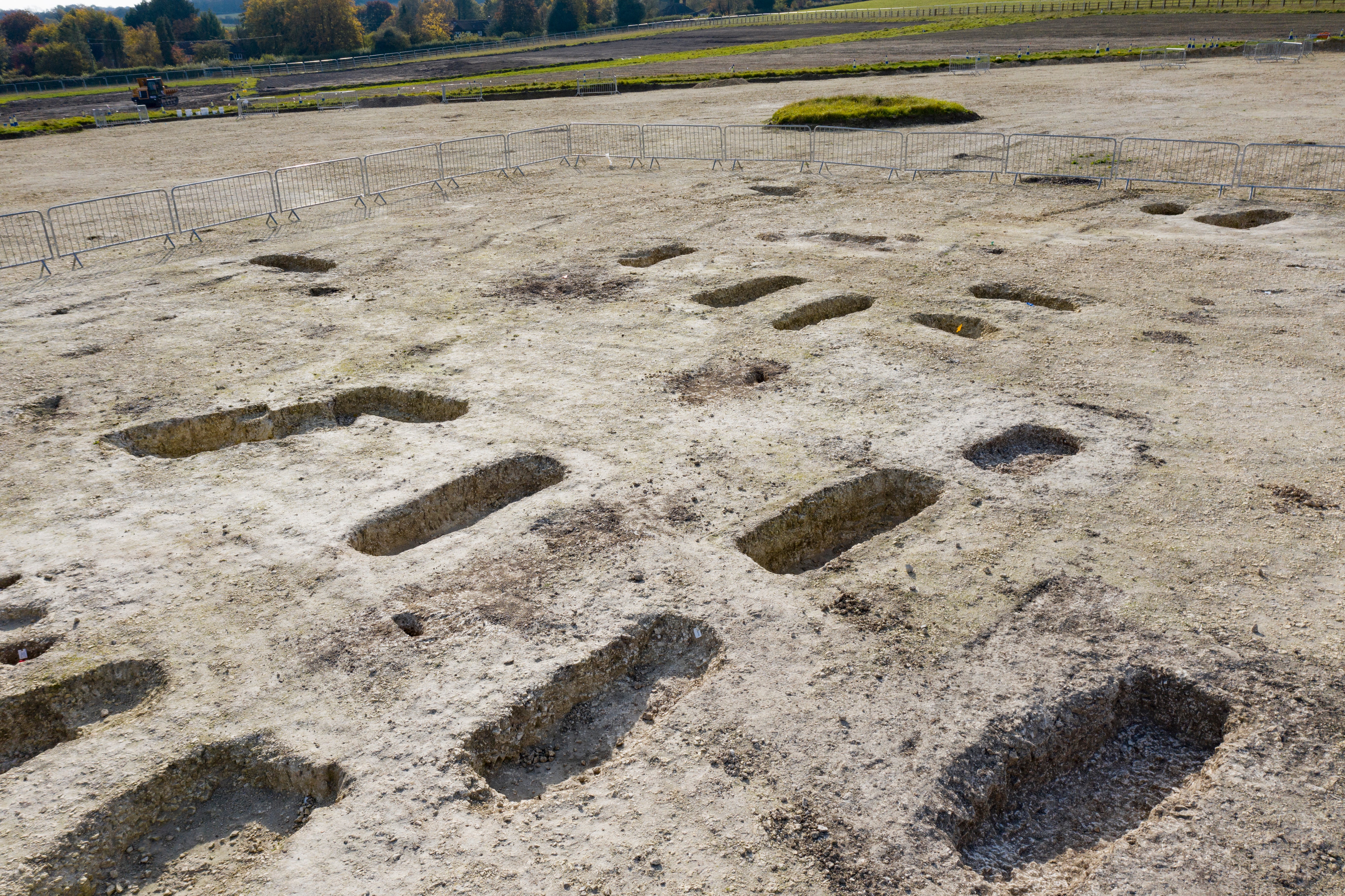 Burial Ground (Disused)Burial ground · 1230 yd
 St Mary's Roman Catholic Churchchurch/chapel · 1281 yd
 Leap waterfallHeritage attraction · 1559 yd
 Sitka SpruceSitka Spruce · 1.4 mi
 Bláth na GréineWood · 1.5 mi
 Myross PointHeadland · 1.6 mi
 Wild Atlantic WayVisitor information · 1.9 mi
 William Thompson MemorialMemorial · 2.0 mi
 Coastguard StationRuins · 2.5 mi
 Walk 1 - Drombeg Standing Stone Circle (7 - 9 km)Walking route · 2.5 mi
Other information
Photo: National Inventory of Architectural Heritage · Website use allowed for educational or private purposes with source credit