What is recorded here
In pasture, on S-facing slope. Large recumbent slab (L 4.4m; 1.59m x 0.6m) with fifteen cupmarks (max. diam. 0.12m) mostly occurring on S end. According to local information, the stone was originally upright and located a short distance from its present position.
The above description is derived from the published 'Archaeological Inventory of County Cork. Volume 1: West Cork' (Dublin: Stationery Office, 1992). In certain instances the entries have been revised and updated in the light of recent research.
Date of upload/revision: 14 January 2009
Likely dating to the Neolithic or Bronze Age, this cupmarked stone may have had ritual or ceremonial significance, as cupmarks are often associated with symbolic or ritual practices in prehistoric contexts. Local tradition suggests it was originally an upright standing stone, possibly part of a larger monument or alignment.
The monument record does not grant public access. Check the route and ask the landowner before entering private land.
- What survives
- Recorded monument
Places near here
 Abbey Mounthouse · 558 yd
 Kilmacabea Ch. (Site of)Church · 562 yd
 rectory/glebe/vicarage/curate's houserectory/glebe/vicarage/curate's house · 660 yd
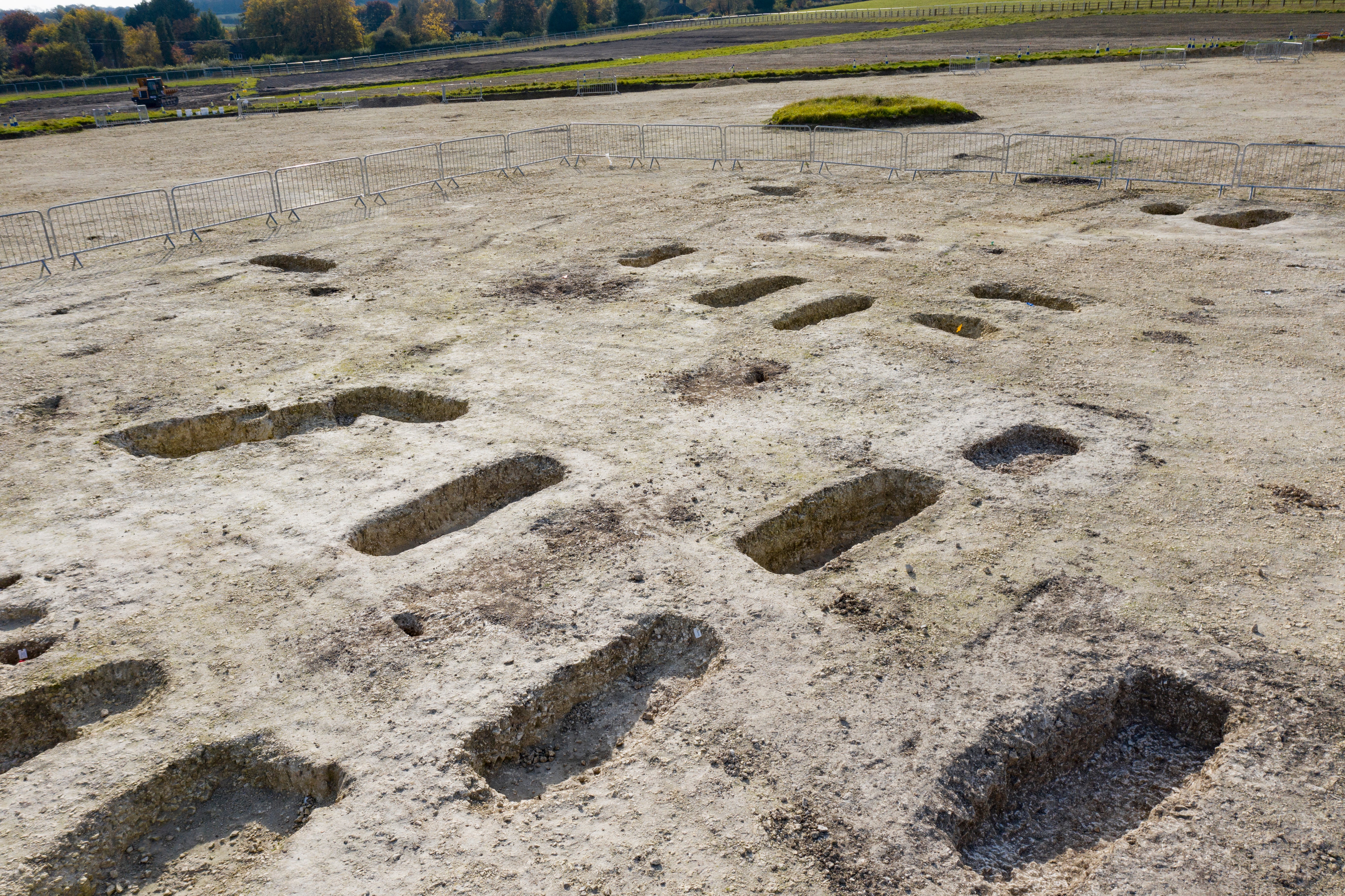 Burial Ground (Disused)Burial ground · 1228 yd
 Leap waterfallHeritage attraction · 1747 yd
 Sitka SpruceSitka Spruce · 1.5 mi
 Myross PointHeadland · 1.6 mi
 Bláth na GréineWood · 1.7 mi
 William Thompson MemorialMemorial · 1.8 mi
 Wild Atlantic WayVisitor information · 1.8 mi
 Walk 1 - Drombeg Standing Stone Circle (7 - 9 km)Walking route · 2.3 mi
 Coastguard StationRuins · 2.4 mi