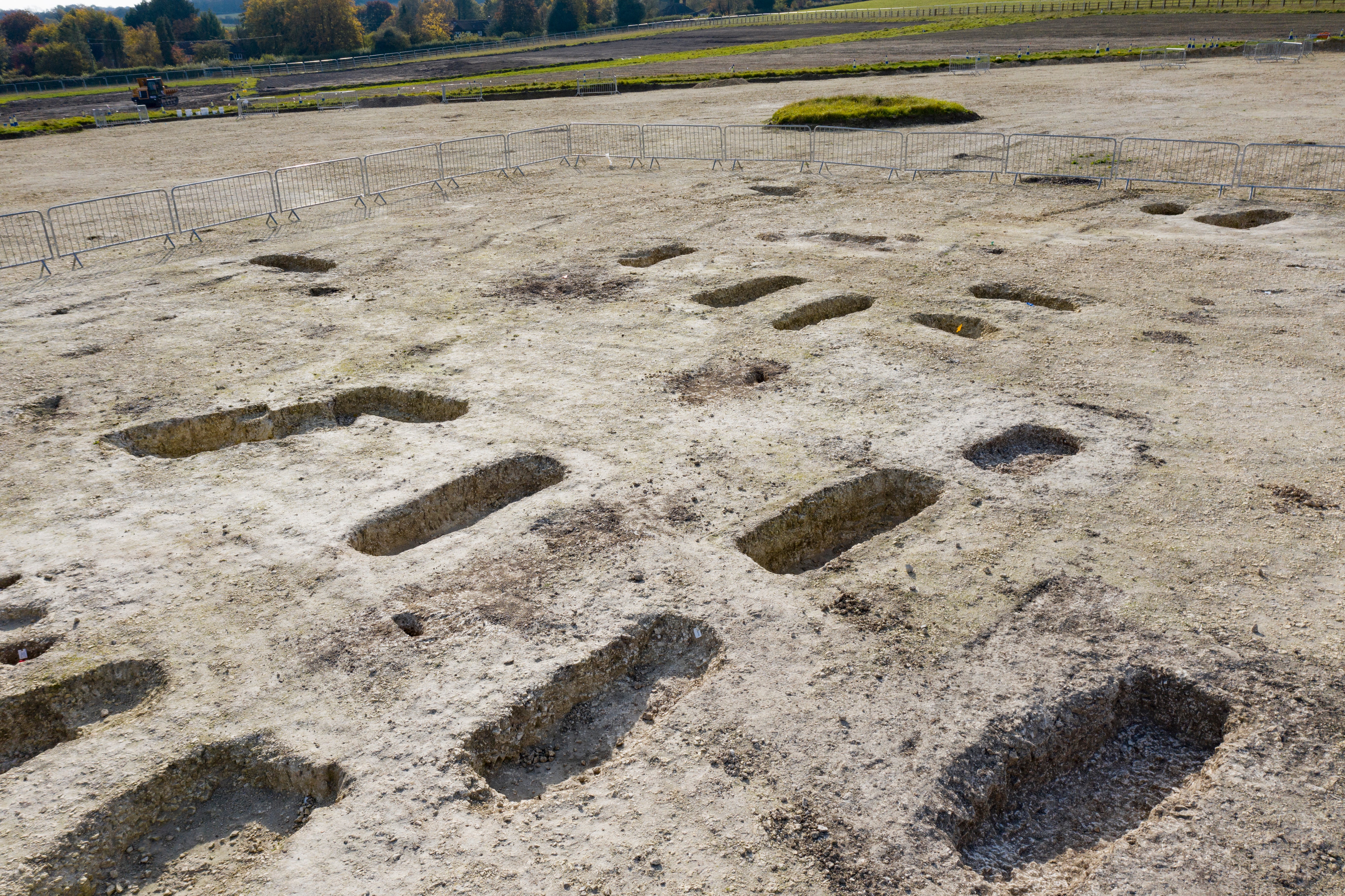
What is recorded here
Not shown on OS 6-inch map (1842). On S-facing slope just N of St. Faughnan's R.C. Church. Modern graveyard on site.
The above description is derived from the published 'Archaeological Inventory of County Cork. Volume 1: West Cork' (Dublin: Stationery Office, 1992). In certain instances the entries have been revised and updated in the light of recent research.
Date of upload/revision: 14 January 2009
A local ancient tomb; wider significance not recorded.
The monument record does not grant public access. Check the route and ask the landowner before entering private land.
- What survives
- Recorded monument
Places near here
 St Mary's Roman Catholic Churchchurch/chapel · 58 yd
 presbytery/parochial/curate's housepresbytery/parochial/curate's house · 138 yd
 Leap waterfallHeritage attraction · 656 yd
 Kilmacabea Ch. (Site of)Church · 1470 yd
 Sitka SpruceSitka Spruce · 1479 yd
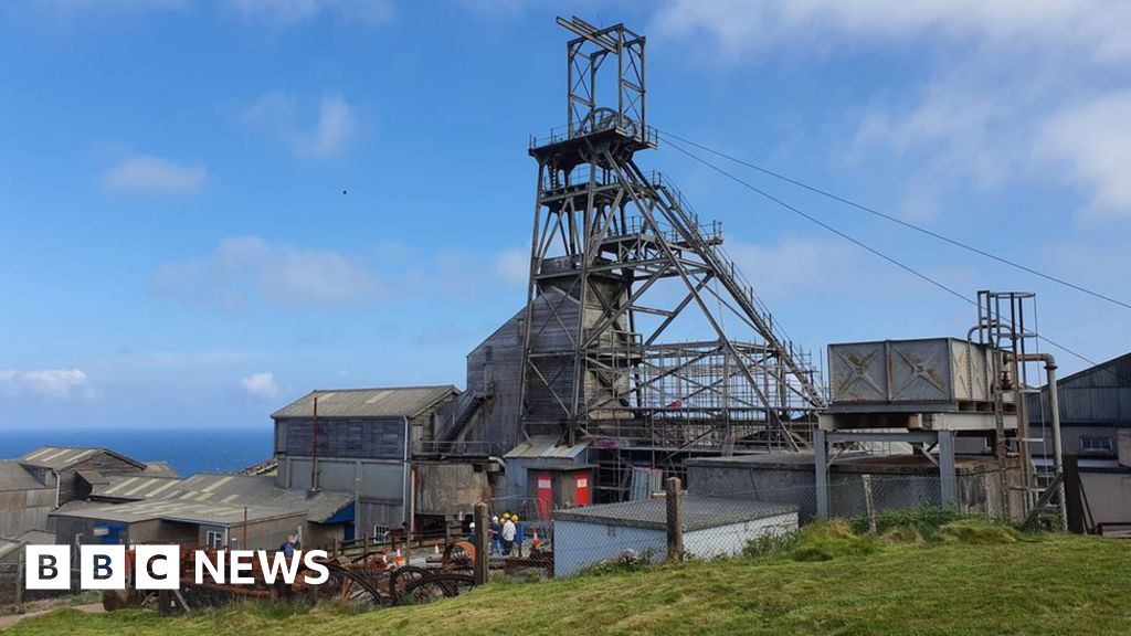 Manganese Mines (Disused)Mining complex · 1547 yd
 Myross PointHeadland · 1579 yd
 Bláth na GréineWood · 1.0 mi
 Wild Atlantic WayVisitor information · 1.2 mi
 Big HeightMountain / peak · 1.4 mi
 Cnoc BuíMountain / peak · 1.5 mi
 Tobar na gCapallSpring · 1.6 mi
Other information
Photo: Credit not shown in the picture search · Rights wording not checked; contact us if this picture should be removed