What is recorded here
Situated on a slight knoll on the N bank of the River Suir. The parish church of Kilculliheen is within a large subrectangular graveyard (WA009-008001-) (dims. c. 75m NE-SW; c. 70m NW-SE), and it is the possible site of an Arroasian convent founded as a priory of St Mary de Hogges (Dublin) by Dermot Mac Murrough in 1151. It had become an abbey by 1257 and was suppressed in 1540 at which time the church was parochial. Other buildings at that time included a belfry, hall, dormitory, four chambers, kitchens and a granary (Gwynn and Hadcock 1970, 319). No trace of these buildings or the church survive, and there is no idication of an antiquity. The present C of I church was built in 1820 (Lewis 1837, vol. 2, 77). (Burke 1902)
Burke, Rev. W. P. (1902) The nunnery at Kilculliheen, WAJ 8, 9-17.
Gwynn, A. and Hadcock, R. N. (1970) (reprint 1988) Medieval religious houses in Ireland. Irish Academic Press, Dublin.
Lewis, S. (1837) A topographical dictionary of Ireland. 2 vols. Lewis and Co. London.
The above description is derived from the published 'Archaeological Inventory of County Waterford' (Dublin: Stationery Office, 1999). In certain instances the entries have been revised and updated in the light of recent research.
Date of upload/revision: 23 December 2008
The monument record does not grant public access. Check the route and ask the landowner before entering private land.
- What survives
- Recorded monument
Places near here
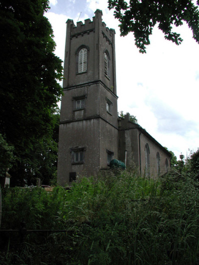 Abbey Church (Kilculliheen)church/chapel · 1 yd
 Grave YardGraveyard · 20 yd
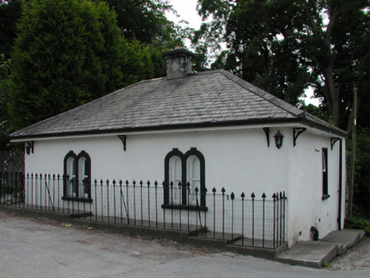 gate lodgegate lodge · 53 yd
 Malcomson's Shipping OfficeMemorial · 381 yd
 Blockhouse in Waterford CityBlockhouse · 390 yd
 Viking TriangleVisitor information · 397 yd
 Reginald's TowerMuseum · 405 yd
 Viking ExperienceHeritage attraction · 480 yd
 Stephen de FulburnMemorial · 522 yd
 Pedunculate OakPedunculate Oak · 630 yd
 Granny CastleCastle, tower house · 2.8 mi
 Native Woodland Trust:Grace Dieu ReserveWood · 3.0 mi